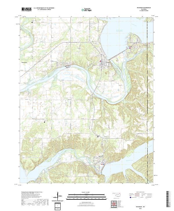
2022 Map of Spavinaw
USGS Topo · Published 2022About this map
Spavinaw serves as a focal point in this portion of Mayes County, situated at the edge of the sprawling Spavinaw Lake. The area's geography is defined by the significant impoundments of the Neosho River, creating the vast Grand Lake O' The Cherokees to the north and supporting the lakeside communities of Disney, Langley, and Sportmans Shores. These settlements are interconnected by a network of local roads such as Indian Springs Rd and Old Whiskey Rd, reflecting the region's development as a center for water-based recreation and utility. Local heritage is preserved in sites like the Spavinaw Cem and Military Cem, while the terrain is marked by distinctive drainages such as Tag Hollow and Chicken Hollow. The map captures the interface between established towns like Pensacola and the managed water systems that dominate the Northeast Oklahoma landscape.
Find a feature on this map
66 named features on this map. Tap any name to fly to it.
Don’t see what you’re looking for? This feature index may not catch every label — zoom into the map to look around manually.
Map Details
Editions of this 2022 Spavinaw Map
This is the sole edition of this map. No revisions or reprints were ever made.
Other maps of this area

1896 · Pryor
USGS Topo · 1:125,000

1899 · Siloam Springs
USGS Topo · 1:125,000

1901 · Vinita
USGS Topo · 1:125,000

1901 · Pryor
USGS Topo · 1:125,000

1903 · Siloam Springs
USGS Topo · 1:125,000

1904 · Siloam Springs
USGS Topo · 1:125,000

1907 · Wyandotte
USGS Topo · 1:125,000

1909 · Wyandotte
USGS Topo · 1:125,000

1913 · Vinita
USGS Topo · 1:125,000

1954 · Tulsa
USGS Topo · 1:250,000