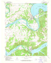
1971 Map of Spavinaw
USGS Topo · Published 1973About this map
Pensacola Dam and the Powerplant at Langley anchor this early 1970s landscape, where the Neosho River is harnessed into a complex system of reservoirs. The map captures a high degree of water management infrastructure, including the City of Vinita Water Intake, a large Aqueduct, and the Spavinaw Dam which regulates Spavinaw Lake. The area's mid-century development is evident in the numerous recreation areas and the Spavinaw Hills State Game Refuge spanning the southern hills.
Find a feature on this map
40 named features on this map. Tap any name to fly to it.
Don’t see what you’re looking for? This feature index may not catch every label — zoom into the map to look around manually.
Map Details
Editions of this 1971 Spavinaw Map
This is the sole edition of this map. No revisions or reprints were ever made.
Other maps of this area

1896 · Pryor
USGS Topo · 1:125,000

1899 · Siloam Springs
USGS Topo · 1:125,000

1901 · Vinita
USGS Topo · 1:125,000

1901 · Pryor
USGS Topo · 1:125,000

1903 · Siloam Springs
USGS Topo · 1:125,000

1904 · Siloam Springs
USGS Topo · 1:125,000

1907 · Wyandotte
USGS Topo · 1:125,000

1909 · Wyandotte
USGS Topo · 1:125,000

1913 · Vinita
USGS Topo · 1:125,000

1954 · Tulsa
USGS Topo · 1:250,000