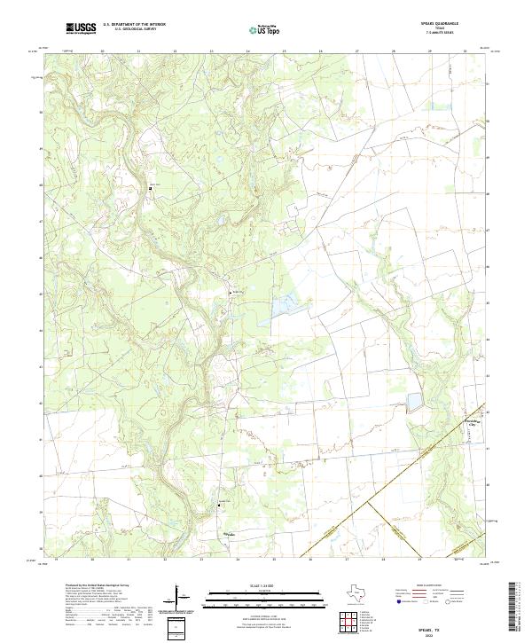
2022 Map of Speaks
USGS Topo · Published 2022About this map
The Navidad River winds through the rural corridor of southern Lavaca County, where the settlement of Speaks serves as a central landmark. This landscape is defined by its dense network of small tributaries, including Sandies Cr, Peach Cr, and Ragsdale Cr, which drain into the main river channel. The area's genealogical history is anchored by several remote burial grounds, specifically Speaks Cem, Bright Cem, and Hartt Cem, which are scattered among the ranch lands and creek bottoms.
Find a feature on this map
35 named features on this map. Tap any name to fly to it.
Don’t see what you’re looking for? This feature index may not catch every label — zoom into the map to look around manually.
Map Details
Editions of this 2022 Speaks Map
This is the sole edition of this map. No revisions or reprints were ever made.
Other maps of this area

1953 · Seguin
USGS Topo · 1:250,000

1958 · Seguin
USGS Topo · 1:250,000

1962 · Sublime
USGS Topo · 1:24,000

1962 · Hallettsville SE
USGS Topo · 1:24,000

1964 · Cordele
USGS Topo · 1:24,000

1964 · Morales
USGS Topo · 1:24,000

1964 · Speaks
USGS Topo · 1:24,000
1965 · Sheridan NE
USGS Topo · 1:24,000

1965 · Ganado NE
USGS Topo · 1:24,000

1965 · Sheridan SE
USGS Topo · 1:24,000