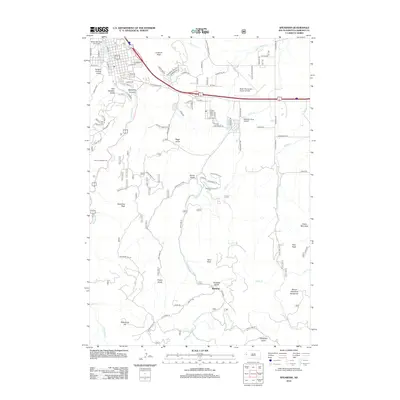
2012 Map of Spearfish
USGS Topo · Published 2012About this map
Black Hills State University anchors the northwestern corner of this study, marking the edge of a landscape where academic development meets the deep drainages of the Black Hills. The drainage patterns of Spearfish Cr and False Bottom Cr dictate the local geography, carving through numerous gulches like Hungry Hollow Gulch and Paradise Gulch. The settlement of Maitland sits at a crossroads in the southern portion of the map, connected by winding mountain roads to prominent high points including Mount Theodore Roosevelt and Polo Peak.
Find a feature on this map
94 named features on this map. Tap any name to fly to it.
Don’t see what you’re looking for? This feature index may not catch every label — zoom into the map to look around manually.
Map Details
Editions of this 2012 Spearfish Map
This is the sole edition of this map. No revisions or reprints were ever made.
Other maps of this area

1894 · Deadwood
USGS Topo · 1:125,000

1899 · Sturgis
USGS Topo · 1:62,500

1900 · Spearfish
USGS Topo · 1:62,500

1901 · Deadwood
USGS Topo · 1:125,000

1905 · Saint Onge
USGS Topo · 1:62,500

1907 · Belle Fourche
USGS Topo · 1:125,000

1907 · Redwater
USGS Topo · 1:62,500

1915 · Spearfish
USGS Topo · 1:62,500

1915 · Sturgis
USGS Topo · 1:62,500

1916 · Deadwood
USGS Topo · 1:125,000