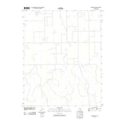
2010 Map of Spearman SE
USGS Topo · Published 2010About this map
The high plains of Hutchinson County are defined by a network of drainage systems including Pats Creek and its tributary, the East Fork Pats Creek. This 2010 landscape shows the intersection of modern agricultural road grids with the natural topography of the Texas Panhandle. Local transportation is centered on Farm Rd 281 (also labeled Fm 281) and a series of county roads like Co Rd BB and Co Rd A. In the southern half of the quadrangle, the terrain becomes more varied as the headwaters of Willow Creek and Johns Creek emerge. The map illustrates how human engineering, represented by the straight lines of Brainard Rd and other numbered routes, adapts to the winding paths of the region's seasonal watercourses.
Find a feature on this map
15 named features on this map. Tap any name to fly to it.
Don’t see what you’re looking for? This feature index may not catch every label — zoom into the map to look around manually.
Map Details
Editions of this 2010 Spearman SE Map
This is the sole edition of this map. No revisions or reprints were ever made.
Other maps of this area

1954 · Perryton
USGS Topo · 1:250,000

1954 · Amarillo
USGS Topo · 1:250,000

1958 · Perryton
USGS Topo · 1:250,000

1958 · Amarillo
USGS Topo · 1:250,000

1962 · Spearman
USGS Topo · 1:24,000

1971 · Dry Creek North
USGS Topo · 1:24,000

1971 · Garden Springs
USGS Topo · 1:24,000

1973 · Sourdough Creek SW
USGS Topo · 1:24,000

1973 · Spearman NE
USGS Topo · 1:24,000

1973 · Sourdough Creek NW
USGS Topo · 1:24,000