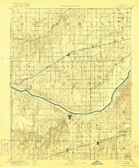
1894 Map of Spearville
USGS Topo · Published 1921About this map
The Arkansas River cuts a wide, meandering path through this high plains landscape, serving as a primary geographic anchor for Ford and Kiowa counties. Two major rail corridors define the settlement pattern, with the Atchison Topeka and Santa Fe Railroad supporting northern towns like Spearville, Wright, and Offerle. To the south, the Chicago Kansas and Nebraska Railroad connects Kingsdown and Bucklin.
Find a feature on this map
33 named features on this map. Tap any name to fly to it.
Don’t see what you’re looking for? This feature index may not catch every label — zoom into the map to look around manually.
Map Details
Editions of this 1894 Spearville Map
4 editions found
Other maps of this area

1889 · Larned
USGS Topo · 1:125,000

1889 · Kinsley
USGS Topo · 1:125,000

1891 · Larned
USGS Topo · 1:125,000

1892 · Ness
USGS Topo · 1:125,000

1892 · Kinsley
USGS Topo · 1:125,000

1892 · Meade
USGS Topo · 1:125,000

1892 · Dodge
USGS Topo · 1:125,000

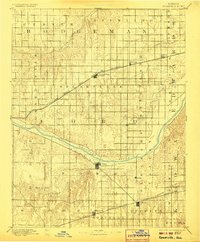
1892 · Spearville
USGS Topo · 1:125,000

1892 · Coldwater
USGS Topo · 1:125,000

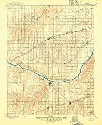
1894 · Spearville
USGS Topo · 1:125,000