
1894 Map of Spearville
USGS Topo · Published 1894About this map
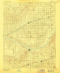
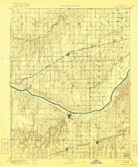
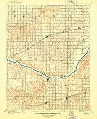
The Arkansas River carves a wide path through this western Kansas landscape, which was surveyed by W.H. Herron and R.M. Towson in the late 1880s. The region is defined by two major transcontinental rail corridors that facilitated the growth of local agriculture and trade. The northern route, the Atchison Topeka and Santa Fe Railroad, serves as the anchor for Spearville, Wright, and Offerle. Meanwhile, the southern corridor is dominated by the Chicago Rock Island and Pacific Railroad, connecting the settlements of Bucklin and Kingsdown. Between these rail lines, the terrain transitions from the valley of Coon Creek to the southern uplands near Mulberry Creek, showing the early township and range organization of Ford and Hodgeman counties. The map captures the area before modern irrigation, when life centered strictly on river access and the reliable steam locomotive.
Find a feature on this map
35 named features on this map. Tap any name to fly to it.
Don’t see what you’re looking for? This feature index may not catch every label — zoom into the map to look around manually.
Map Details
Editions of this 1894 Spearville Map
4 editions found
Other maps of this area

1889 · Larned
USGS Topo · 1:125,000

1889 · Kinsley
USGS Topo · 1:125,000

1891 · Larned
USGS Topo · 1:125,000

1892 · Ness
USGS Topo · 1:125,000

1892 · Kinsley
USGS Topo · 1:125,000

1892 · Meade
USGS Topo · 1:125,000

1892 · Dodge
USGS Topo · 1:125,000

1892 · Spearville
USGS Topo · 1:125,000

1892 · Coldwater
USGS Topo · 1:125,000

1894 · Kinsley
USGS Topo · 1:125,000