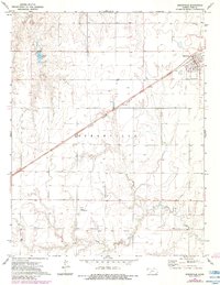
1972 Map of Spearville
USGS Topo · Published 1984About this map
Spearville stands as a primary hub of activity in Ford County, centered on the Atchison Topeka and Santa Fe railroad corridor. The layout of the town reveals a classic Great Plains development pattern, where the street grid aligns with the railway and highway infrastructure of Route 56. Outside the concentrated settlement, the landscape is defined by agricultural markers, including various water wells and the Shehan Landing Strip.
Find a feature on this map
13 named features on this map. Tap any name to fly to it.
Don’t see what you’re looking for? This feature index may not catch every label — zoom into the map to look around manually.
Map Details
Editions of this 1972 Spearville Map
2 editions found
Other maps of this area

1892 · Spearville
USGS Topo · 1:125,000

1894 · Spearville
USGS Topo · 1:125,000

1955 · Pratt
USGS Topo · 1:250,000

1959 · Pratt
USGS Topo · 1:250,000

1969 · Fort Dodge
USGS Topo · 1:24,000

1969 · Bucklin NW
USGS Topo · 1:24,000

1969 · Ford
USGS Topo · 1:24,000
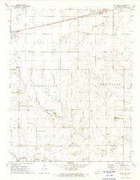
1972 · Bellefont
USGS Topo · 1:24,000
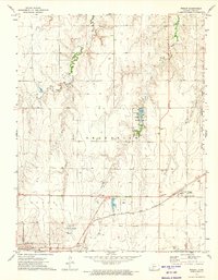
1972 · Wright
USGS Topo · 1:24,000
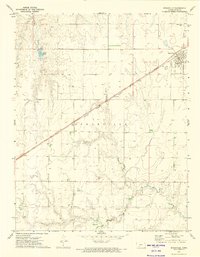
1972 · Spearville
USGS Topo · 1:24,000