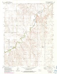
1972 Map of Spearville NE
USGS Topo · Published 1984About this map
Sawlog Creek snakes through the central and northern sections of this terrain, defining much of the drainage pattern as it cuts through the landscape. This western Kansas survey, revised in the early 1980s, captures a transition between traditional agriculture and the extractive industries that shaped the local economy. The presence of an Oil Field and multiple extraction sites, such as the Caliche Pit and Gravel Pit, indicates the area's diverse geological utility beyond farming. Along the northern boundary, the Jetmore Municipal Airport serves as a modern waypoint, while the border between Hodgeman Co and Ford Co marks the southern reach of the map. The scattered placement of individual wells suggests a steady reliance on groundwater management across the prairie, punctuated by landmarks like a Radio Tower that provided communication infrastructure for these rural townships.
Find a feature on this map
10 named features on this map. Tap any name to fly to it.
Don’t see what you’re looking for? This feature index may not catch every label — zoom into the map to look around manually.
Map Details
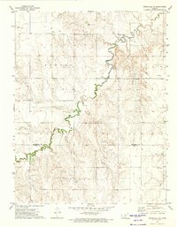
Editions of this 1972 Spearville NE Map
2 editions found
Other maps of this area

1892 · Ness
USGS Topo · 1:125,000

1892 · Spearville
USGS Topo · 1:125,000

1894 · Spearville
USGS Topo · 1:125,000

1894 · Ness
USGS Topo · 1:125,000

1955 · Great Bend
USGS Topo · 1:250,000

1955 · Pratt
USGS Topo · 1:250,000

1957 · Great Bend
USGS Topo · 1:250,000

1958 · Great Bend
USGS Topo · 1:250,000

1959 · Pratt
USGS Topo · 1:250,000

1969 · Jetmore
USGS Topo · 1:24,000