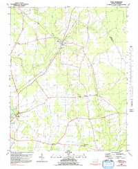
1981 Map of Speed
USGS Topo · Published 1992About this map
The Tar River lowlands of Edgecombe Co and Martin Co are defined by a complex network of wetlands and drainage canals in this late twentieth-century study. The small settlement of Speed serves as a central point, surrounded by agricultural tracts and timberland dissected by Deep Creek and Savage Mill Run. A distinct pattern of rural community life is visible through the numerous country churches and schools that dot the landscape, such as White Chapel, Cherry Hill Ch, and the Roberson Sch.
Find a feature on this map
22 named features on this map. Tap any name to fly to it.
Don’t see what you’re looking for? This feature index may not catch every label — zoom into the map to look around manually.
Map Details
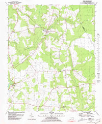
Editions of this 1981 Speed Map
2 editions found
Other maps of this area

1901 · Parmele
USGS Topo · 1:62,500

1902 · Parmele
USGS Topo · 1:62,500

1902 · Tarboro
USGS Topo · 1:62,500

1903 · Tarboro
USGS Topo · 1:62,500

1953 · Norfolk
USGS Topo · 1:250,000

1953 · Rocky Mount
USGS Topo · 1:250,000

1954 · Rocky Mount
USGS Topo · 1:250,000

1960 · Draughn
USGS Topo · 1:24,000

1962 · Palmyra
USGS Topo · 1:24,000

1962 · Hobgood
USGS Topo · 1:24,000