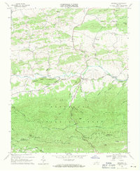
1968 Map of Speedwell
USGS Topo · Published 1971About this map
Cripple Creek flows through the central valley of this 1968 landscape, marking a line of settlement between the northern ridges of Sand Mountain and the expansive Jefferson National Forest to the south. The village of Speedwell serves as the local hub, situated near the intersection of mountain roads and the visible Old Railroad Grade, which points to the area's transition from early industrial transport to a more rural, agricultural character.
Find a feature on this map
55 named features on this map. Tap any name to fly to it.
Don’t see what you’re looking for? This feature index may not catch every label — zoom into the map to look around manually.
Map Details
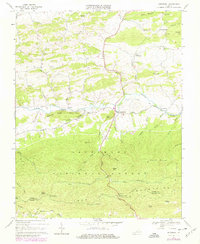
Editions of this 1968 Speedwell Map
2 editions found
Other maps of this area

1889 · Wytheville
USGS Topo · 1:125,000

1892 · Wytheville
USGS Topo · 1:125,000

1930 · Speedwell
USGS Topo · 1:62,500

1930 · Independence
USGS Topo · 1:48,000

1931 · Rural Retreat
USGS Topo · 1:48,000

1933 · Independence
USGS Topo · 1:62,500

1935 · Mouth of Wilson
USGS Topo · 1:48,000

1935 · Cedar Springs
USGS Topo · 1:24,000
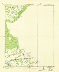
1935 · Groseclose
USGS Topo · 1:24,000

1935 · Middle Fox Creek
USGS Topo · 1:24,000