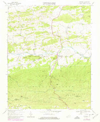
1968 Map of Speedwell
USGS Topo · Published 1979About this map
Cripple Creek flows through a valley defined by the Iron Mountains and Sand Mountain, anchoring a landscape of rural hamlets and timbered slopes in Wythe County. The settlement of Speedwell serves as the local hub, situated near the confluence of Sugar Run and the creek. The map documents a community infrastructure rooted in small crossroads and family-named landmarks like Stroupes Store and Rowe Crossroads.
Find a feature on this map
61 named features on this map. Tap any name to fly to it.
Don’t see what you’re looking for? This feature index may not catch every label — zoom into the map to look around manually.
Map Details
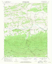
Editions of this 1968 Speedwell Map
2 editions found
Other maps of this area

1889 · Wytheville
USGS Topo · 1:125,000

1892 · Wytheville
USGS Topo · 1:125,000

1930 · Speedwell
USGS Topo · 1:62,500

1930 · Independence
USGS Topo · 1:48,000

1931 · Rural Retreat
USGS Topo · 1:48,000

1933 · Independence
USGS Topo · 1:62,500

1935 · Mouth of Wilson
USGS Topo · 1:48,000

1935 · Cedar Springs
USGS Topo · 1:24,000
1935 · Groseclose
USGS Topo · 1:24,000

1935 · Middle Fox Creek
USGS Topo · 1:24,000