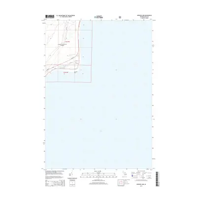
2014 Map of Spencer Lake
USGS Topo · Published 2014About this map
Huron National Forest blankets the shoreline terrain where the land meets the vast expanse of Lake Huron. This coastal area is defined by the sharp protrusion of Au Sable Point, a notable landmark along this stretch of the Michigan coast. The landscape transition is marked by a network of local thoroughfares such as Ausable Point Rd and Iris Dr, which provide access to the interior woodlands and the secluded Spencer Lake. A segment of US Hwy 23 cuts through the forest, serving as the primary corridor for travelers moving along the Lake Huron shoreline. The map illustrates the sparsely developed nature of this region, where public forest lands dominate the geography north of the T22N R9E and T23N R9E boundary lines.
Find a feature on this map
13 named features on this map. Tap any name to fly to it.
Don’t see what you’re looking for? This feature index may not catch every label — zoom into the map to look around manually.
Map Details
Editions of this 2014 Spencer Lake Map
This is the sole edition of this map. No revisions or reprints were ever made.
Other maps of this area

1954 · Tawas City
USGS Topo · 1:250,000

1958 · Tawas City
USGS Topo · 1:250,000

1959 · East Tawas
USGS Topo · 1:62,500

1984 · Tawas City
USGS Topo · 1:100,000
1989 · Foote Site Village
USGS Topo · 1:24,000
1989 · East Tawas
USGS Topo · 1:24,000
1989 · Spencer Lake
USGS Topo · 1:24,000
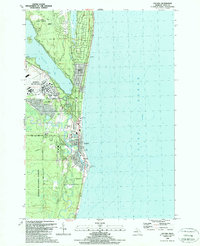
1989 · Oscoda
USGS Topo · 1:24,000
2011 · East Tawas OE S
USGS Topo · 1:24,000
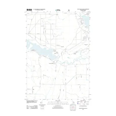
2012 · Foote Site Village
USGS Topo · 1:24,000