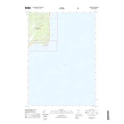
2019 Map of Spencer Lake
USGS Topo · Published 2019About this map
Huron National Forest dominates the terrestrial portion of this shoreline survey, where the wooded interior meets the expansive waters of Lake Huron. The landscape is characterized by a network of local forest tracks and roads, including Forest Rd and Huron Rd, which serve the sparsely populated coastal fringe. Near the center of the landmass, Spencer Lake sits just inland from the lakefront, surrounded by a small cluster of residential streets such as Iris Dr and Aster St. The prominent geographical feature of Au Sable Point marks the southeastern bend of the shoreline. This 2019 data reflects the modern infrastructure of this Michigan coastal region, where seasonal access and forest management define the land use patterns along the lake and around the specialized drainage of Ausable Point Rd.
Find a feature on this map
14 named features on this map. Tap any name to fly to it.
Don’t see what you’re looking for? This feature index may not catch every label — zoom into the map to look around manually.
Map Details
Editions of this 2019 Spencer Lake Map
This is the sole edition of this map. No revisions or reprints were ever made.
Other maps of this area

1954 · Tawas City
USGS Topo · 1:250,000

1958 · Tawas City
USGS Topo · 1:250,000

1959 · East Tawas
USGS Topo · 1:62,500

1984 · Tawas City
USGS Topo · 1:100,000
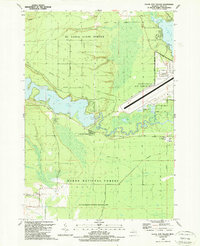
1989 · Foote Site Village
USGS Topo · 1:24,000
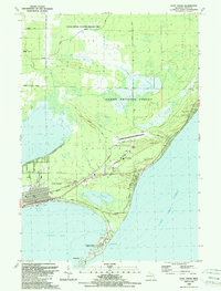
1989 · East Tawas
USGS Topo · 1:24,000
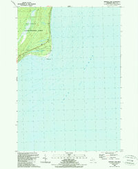
1989 · Spencer Lake
USGS Topo · 1:24,000
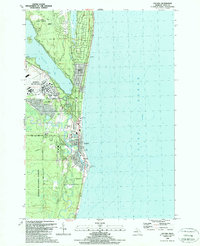
1989 · Oscoda
USGS Topo · 1:24,000
2011 · East Tawas OE S
USGS Topo · 1:24,000
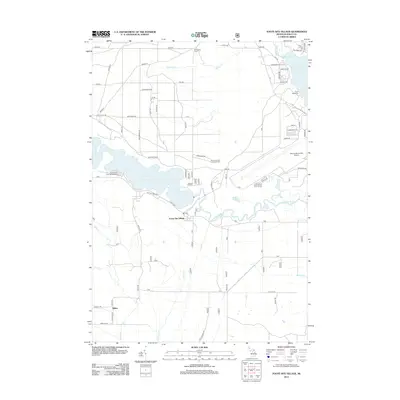
2012 · Foote Site Village
USGS Topo · 1:24,000