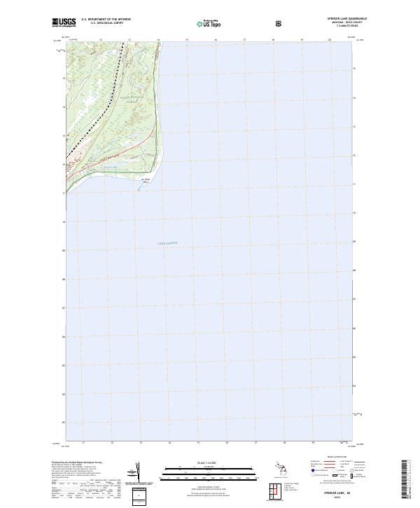
2023 Map of Spencer Lake
USGS Topo · Published 2023About this map
Huron National Forest covers the coastal landscape of Iosco County in this 2023 survey, where the terrestrial wilderness meets the expansive waters of Lake Huron. This northern Michigan terrain is defined by its transition from wooded interior to shoreline, most prominently at Au Sable Point. Centered near the lakefront, Spencer Lake provides a distinct inland water feature bounded by local access routes such as E Point Rd and Iris Dr. The map illustrates a network of forest roads and residential drives including Aster St and Hilltop St, revealing how modern development and forestry management intersect along the Lake Huron coastline. The presence of Huron Rd and Gowen Rd provides clear markers for those tracing property boundaries or navigating the wooded sections within Township 23 North and Township 22 North.
Find a feature on this map
14 named features on this map. Tap any name to fly to it.
Don’t see what you’re looking for? This feature index may not catch every label — zoom into the map to look around manually.
Map Details
Editions of this 2023 Spencer Lake Map
This is the sole edition of this map. No revisions or reprints were ever made.
Other maps of this area

1954 · Tawas City
USGS Topo · 1:250,000

1958 · Tawas City
USGS Topo · 1:250,000

1959 · East Tawas
USGS Topo · 1:62,500

1984 · Tawas City
USGS Topo · 1:100,000
1989 · Foote Site Village
USGS Topo · 1:24,000
1989 · East Tawas
USGS Topo · 1:24,000
1989 · Spencer Lake
USGS Topo · 1:24,000
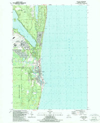
1989 · Oscoda
USGS Topo · 1:24,000
2011 · East Tawas OE S
USGS Topo · 1:24,000
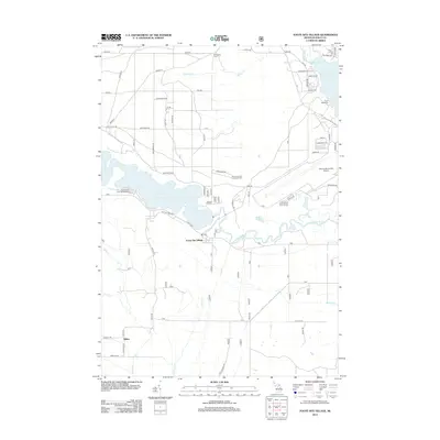
2012 · Foote Site Village
USGS Topo · 1:24,000