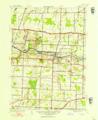
1952 Map of Spencerport
USGS Topo · Published 1953About this map
The Erie Canal and the New York Central Railroad run parallel through the heart of this Monroe County landscape, anchoring the development of Spencerport and Adams Basin. These dual transportation corridors define the region's mid-century character, where industrial infrastructure like the Spencerport Waterworks and a Sewage Disposal Plant sit alongside rural education sites like School No 2 and School No 8.
Find a feature on this map
46 named features on this map. Tap any name to fly to it.
Don’t see what you’re looking for? This feature index may not catch every label — zoom into the map to look around manually.
Map Details
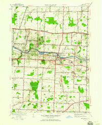
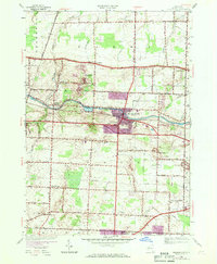
Editions of this 1952 Spencerport Map
3 editions found
Other maps of this area

1895 · Rochester
USGS Topo · 1:62,500

1895 · Ontario Beach
USGS Topo · 1:62,500

1898 · Rochester
USGS Topo · 1:62,500

1899 · Hamlin
USGS Topo · 1:62,500

1899 · Ontario Beach
USGS Topo · 1:62,500

1899 · Brockport
USGS Topo · 1:62,500

1912 · Rochester
USGS Topo · 1:62,500

1912 · Ontario Beach
USGS Topo · 1:62,500

1920 · Rochester
USGS Topo · 1:62,500

1931 · Rochester West
USGS Topo · 1:24,000