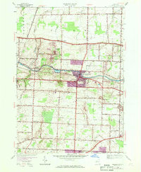
1952 Map of Spencerport
USGS Topo · Published 1970About this map
Spencerport stands as the central hub of this Monroe County landscape, showing its post-war growth alongside the enduring path of the Erie Canal. This 1952 survey, updated with 1969 aerial data, captures the community just as suburban expansion began to overlay the traditional orchard and farm grids of western New York. To the west, the hamlet of Adams Basin marks a distinct canal-side settlement, while the Penn Central rail line cuts a diagonal path through the southern half of the quadrangle.
Find a feature on this map
51 named features on this map. Tap any name to fly to it.
Don’t see what you’re looking for? This feature index may not catch every label — zoom into the map to look around manually.
Map Details
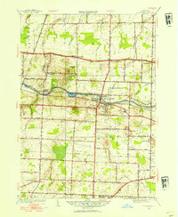
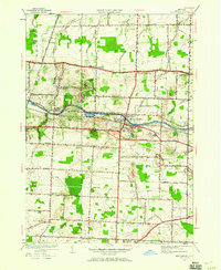
Editions of this 1952 Spencerport Map
3 editions found
Other maps of this area

1895 · Rochester
USGS Topo · 1:62,500

1895 · Ontario Beach
USGS Topo · 1:62,500

1898 · Rochester
USGS Topo · 1:62,500

1899 · Hamlin
USGS Topo · 1:62,500

1899 · Ontario Beach
USGS Topo · 1:62,500

1899 · Brockport
USGS Topo · 1:62,500

1912 · Rochester
USGS Topo · 1:62,500

1912 · Ontario Beach
USGS Topo · 1:62,500

1920 · Rochester
USGS Topo · 1:62,500

1931 · Rochester West
USGS Topo · 1:24,000