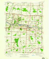
1952 Map of Spencerport
USGS Topo · Published 1960About this map
The Erie Canal cuts a definitive horizontal path across this Monroe County landscape, anchoring the village of Spencerport and the hamlet of Adams Basin. These settlements grew along the waterway, which remains a central geographic feature even as mid-century suburbanization began to touch the surrounding town of Ogden. To the south, Roberts Wesleyan College sits near the headwaters of Little Black Creek, marking the educational and social heart of the community.
Find a feature on this map
44 named features on this map. Tap any name to fly to it.
Don’t see what you’re looking for? This feature index may not catch every label — zoom into the map to look around manually.
Map Details
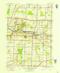
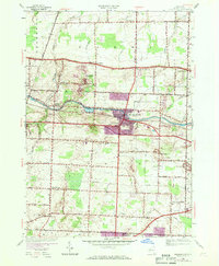
Editions of this 1952 Spencerport Map
3 editions found
Other maps of this area

1895 · Rochester
USGS Topo · 1:62,500

1895 · Ontario Beach
USGS Topo · 1:62,500

1898 · Rochester
USGS Topo · 1:62,500

1899 · Hamlin
USGS Topo · 1:62,500

1899 · Ontario Beach
USGS Topo · 1:62,500

1899 · Brockport
USGS Topo · 1:62,500

1912 · Rochester
USGS Topo · 1:62,500

1912 · Ontario Beach
USGS Topo · 1:62,500

1920 · Rochester
USGS Topo · 1:62,500

1931 · Rochester West
USGS Topo · 1:24,000