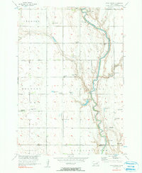
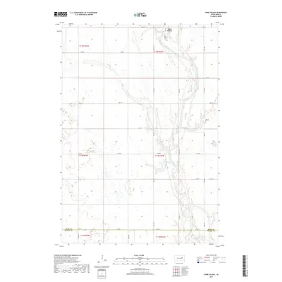
1956 Map of Spink Colony
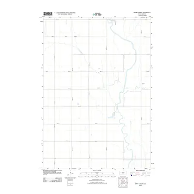
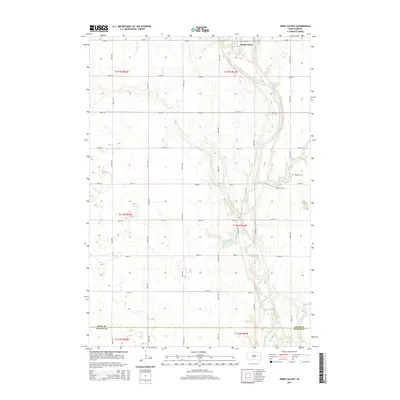
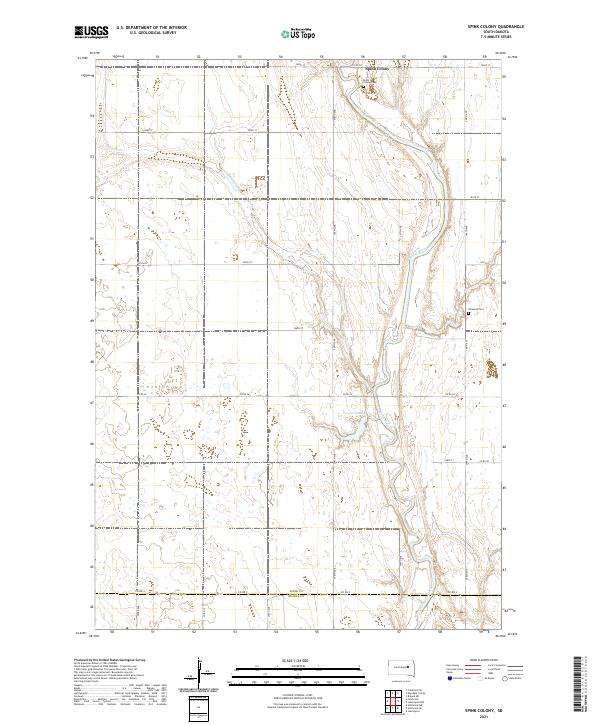
USGS Topo · Published 1990About this map
Spink Colony sits near the northern bends of the James River, where the landscape is defined by the unique hydraulic geography of the Missouri River Basin. This mid-century survey reveals a rural society reliant on the artesian water system, evidenced by numerous Flowing Wells dotting the townships of Crandon, Belmont, and Cornwall. The presence of several educational sites, including the Cornwall Sch and the already vacant Lincoln Sch and Saugstad Sch, reflects the shifting rural populations of the 1950s. Near the Spink and Beadle County line, infrastructure such as the Airway Beacon and Rockwood Town Hall mark the organizational hubs of the prairie. The river remains the central feature, controlled by a Spillway that forms Lake Dudley, highlighting the era's focus on water management and drainage.
Find a feature on this map
19 named features on this map. Tap any name to fly to it.
Don’t see what you’re looking for? This feature index may not catch every label — zoom into the map to look around manually.
Map Details
Editions of this 1956 Spink Colony Map
2 editions found
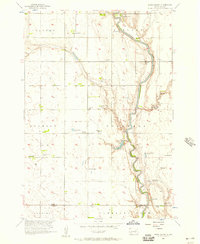
Historical Maps of Cornwall Township Through Time
5 maps found
Featured Locations
- Belmont Township, SD
- Lincoln Township, SD
- Cornwall Township, SD
- Crandon Township, SD
- Spink Hutterite Colony, Lincoln Township