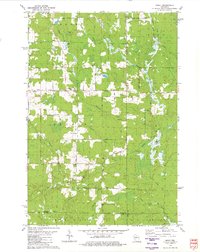
1979 Map of Spirit
USGS Topo · Published 1980About this map
Spirit and the surrounding township appear here as a landscape defined by small-scale farming and timber access in the late 1970s. The road network reveals the local heritage of the area, with names like German Road, Marheime Road, and Cheese Factory Road suggesting the cultural and agricultural foundations of the community. Rural life centers on landmarks such as Zion Ch and the Hillcrest Cem, while the Townhall provides a civic anchor near the intersection of Settlement Road.
Find a feature on this map
49 named features on this map. Tap any name to fly to it.
Don’t see what you’re looking for? This feature index may not catch every label — zoom into the map to look around manually.
Map Details
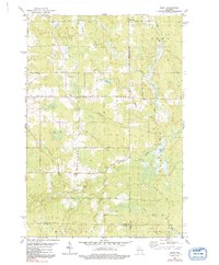
Editions of this 1979 Spirit Map
2 editions found
Other maps of this area

1939 · Mc Cord
USGS Topo · 1:48,000

1941 · Brantwood
USGS Topo · 1:48,000

1943 · Brantwood
USGS Topo · 1:48,000

1945 · Rib Lake
USGS Topo · 1:48,000

1947 · Mc Cord
USGS Topo · 1:48,000

1947 · Rib Lake
USGS Topo · 1:48,000

1949 · Rib Lake
USGS Topo · 1:48,000

1950 · Spirit Falls
USGS Topo · 1:48,000

1952 · Spirit Falls
USGS Topo · 1:48,000

1953 · Rice Lake
USGS Topo · 1:250,000