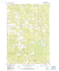
1979 Map of Spirit
USGS Topo · Published 1991About this map
Spirit serves as the focal point of this late-century landscape, situated along the Spirit River near the border of Price and Lincoln Counties. The settlement pattern reflects a deeply rooted agrarian and local industrial history, evidenced by Cheese Factory Road and the Settlement German district. Genealogy researchers will find valuable landmarks such as Zions Ch and Hillcrest Cem, alongside the small cluster at Townhall.
Find a feature on this map
41 named features on this map. Tap any name to fly to it.
Don’t see what you’re looking for? This feature index may not catch every label — zoom into the map to look around manually.
Map Details
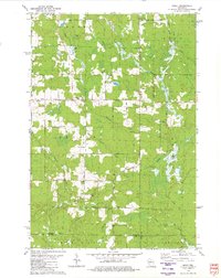
Editions of this 1979 Spirit Map
2 editions found
Other maps of this area

1939 · Mc Cord
USGS Topo · 1:48,000

1941 · Brantwood
USGS Topo · 1:48,000

1943 · Brantwood
USGS Topo · 1:48,000

1945 · Rib Lake
USGS Topo · 1:48,000

1947 · Mc Cord
USGS Topo · 1:48,000

1947 · Rib Lake
USGS Topo · 1:48,000

1949 · Rib Lake
USGS Topo · 1:48,000

1950 · Spirit Falls
USGS Topo · 1:48,000

1952 · Spirit Falls
USGS Topo · 1:48,000

1953 · Rice Lake
USGS Topo · 1:250,000