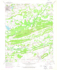
1968 Map of Spiro
USGS Topo · Published 1978About this map
The historic town of Spiro and its surrounding countryside are defined by a complex network of resource extraction and transit in this late 1960s perspective. Industrial activity is evident throughout the landscape, from the Gravel Pits north of town to the numerous Strip Mines and Gas Well locations scattered across the townships. The Poteau River and James Fork meander through the valley floor, south of the prominent ridge of Backbone Mountain.
Find a feature on this map
50 named features on this map. Tap any name to fly to it.
Don’t see what you’re looking for? This feature index may not catch every label — zoom into the map to look around manually.
Map Details
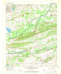
Editions of this 1968 Spiro Map
2 editions found
Other maps of this area

1879 · Fort Smith
USGS Topo · 1:62,500

1887 · Van Buren
USGS Topo · 1:62,500

1887 · Greenwood
USGS Topo · 1:62,500

1890 · Fort Smith
USGS Topo · 1:125,000

1900 · Sallisaw
USGS Topo · 1:125,000

1911 · Sallisaw
USGS Topo · 1:125,000

1943 · Fort Smith
USGS Topo · 1:125,000

1946 · Fort Smith
USGS Topo · 1:250,000

1947 · Van Buren
USGS Topo · 1:62,500

1947 · Greenwood
USGS Topo · 1:62,500