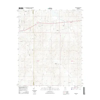
2015 Map of Splinter
USGS Topo · Published 2015About this map
Wallace and Burgess anchor the northern landscape of this Mississippi region, where the wooded hills of Terrapin Mtn and Lowe Mtn rise above a complex network of drainage basins. The boundary between Panola and Lafayette Counties bisects the area, defining local land ownership and genealogy records. Water defines much of the terrain, from the southern reaches of Sardis Lake to the winding paths of Hotopha Cr, Hudson Cr, and Splinter Cr.
Find a feature on this map
42 named features on this map. Tap any name to fly to it.
Don’t see what you’re looking for? This feature index may not catch every label — zoom into the map to look around manually.
Map Details
Editions of this 2015 Splinter Map
This is the sole edition of this map. No revisions or reprints were ever made.
Other maps of this area

1940 · Oxford
USGS Topo · 1:62,500

1943 · Oxford
USGS Topo · 1:62,500

1952 · Sardis
USGS Topo · 1:62,500

1953 · Sardis
USGS Topo · 1:62,500

1954 · Oakland
USGS Topo · 1:62,500

1954 · Water Valley
USGS Topo · 1:62,500

1954 · Water Valley West
USGS Topo · 1:24,000

1955 · Water Valley
USGS Topo · 1:62,500

1956 · Tupelo
USGS Topo · 1:250,000

1958 · Tupelo
USGS Topo · 1:250,000