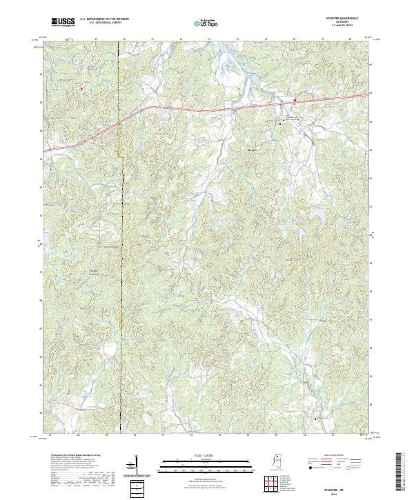
2024 Map of Splinter
USGS Topo · Published 2024About this map
Burgess serves as the primary settlement hub in this portion of Lafayette County, situated near the intersection of several local routes. The landscape is defined by the high ground of Lowe Mountain and Terrapin Mountain, which overlook a complex network of waterways including Hotopha Creek, Splinter Creek, and Buford Creek. The drainage patterns here, with numerous small runs like Marcum Creek and Hudson Creek feeding into larger systems, illustrate the dissected topography of the region.
Find a feature on this map
79 named features on this map. Tap any name to fly to it.
Don’t see what you’re looking for? This feature index may not catch every label — zoom into the map to look around manually.
Map Details
Editions of this 2024 Splinter Map
This is the sole edition of this map. No revisions or reprints were ever made.
Other maps of this area

1940 · Oxford
USGS Topo · 1:62,500

1943 · Oxford
USGS Topo · 1:62,500

1952 · Sardis
USGS Topo · 1:62,500

1953 · Sardis
USGS Topo · 1:62,500

1954 · Oakland
USGS Topo · 1:62,500

1954 · Water Valley
USGS Topo · 1:62,500

1954 · Water Valley West
USGS Topo · 1:24,000

1955 · Water Valley
USGS Topo · 1:62,500

1956 · Tupelo
USGS Topo · 1:250,000

1958 · Tupelo
USGS Topo · 1:250,000