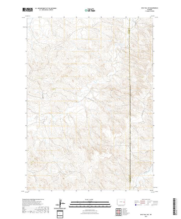
2021 Map of Split Hill SW
USGS Topo · Published 2021About this map
Walker Cr and Twentymile Cr wind through this high plains landscape along the border of Converse and Niobrara counties. The terrain is defined by a network of drainage patterns and intermittent watercourses, captured here in a period of modern energy and agricultural access. The presence of the Flying J Oil Field Rd indicates the industrial footprint of the region's petroleum resources, while routes like Lightning Creek Rd and Co Rd 43 provide the essential infrastructure for ranching and resource extraction. This topography highlights the transition between different townships, including t36n r68w and t35n r67w, illustrating how the Public Land Survey System continues to organize this part of the Wyoming frontier.
Find a feature on this map
13 named features on this map. Tap any name to fly to it.
Don’t see what you’re looking for? This feature index may not catch every label — zoom into the map to look around manually.
Map Details
Editions of this 2021 Split Hill SW Map
This is the sole edition of this map. No revisions or reprints were ever made.
Other maps of this area

1954 · Torrington
USGS Topo · 1:250,000

1955 · Newcastle
USGS Topo · 1:250,000

1958 · Torrington
USGS Topo · 1:250,000

1958 · Newcastle
USGS Topo · 1:250,000

1970 · Bill 4 SE
USGS Topo · 1:24,000

1970 · Walker Creek School
USGS Topo · 1:24,000

1970 · Lost Springs NW
USGS Topo · 1:24,000

1970 · Bill 4 NE
USGS Topo · 1:24,000

1970 · Cooley Draw
USGS Topo · 1:24,000

1979 · Bill
USGS Topo · 1:100,000