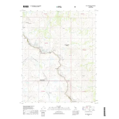
2018 Map of Split Mountain
USGS Topo · Published 2018About this map
Kings Canyon National Park and Inyo National Forest meet at the crest of the Sierra Nevada, defining a landscape of high-altitude glacial basins and sharp granite summits. The boundary between Fresno and Inyo counties follows this drainage divide, crossing prominent peaks such as Split Mtn, Mid Palisade, and Norman Clyde Peak. Long-distance travel through this environment is documented by the Pacific Crest National Scenic Trail, which winds through the Upper Basin and over Mather Pass.
Find a feature on this map
47 named features on this map. Tap any name to fly to it.
Don’t see what you’re looking for? This feature index may not catch every label — zoom into the map to look around manually.
Map Details
Editions of this 2018 Split Mountain Map
This is the sole edition of this map. No revisions or reprints were ever made.
Other maps of this area

1903 · Tehipite
USGS Topo · 1:125,000

1905 · Tehipite
USGS Topo · 1:125,000

1907 · Mt. Whitney
USGS Topo · 1:125,000

1912 · Mt. Goddard
USGS Topo · 1:125,000

1913 · Bishop
USGS Topo · 1:125,000

1919 · Mt. Whitney
USGS Topo · 1:125,000

1937 · Mt. Whitney
USGS Topo · 1:125,000

1947 · Mariposa
USGS Topo · 1:250,000

1948 · Fresno
USGS Topo · 1:250,000

1948 · Mariposa
USGS Topo · 1:250,000