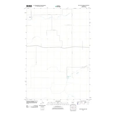
2010 Map of Split Rock Lake
USGS Topo · Published 2010About this map
Solana State Frst dominates the southern reaches of this landscape in Aitkin County, where the terrain is defined by the winding hydrology of the Split Rock River and its primary basin at Split Rock Lake. The area's settlement pattern is sparse and rural, centered on a grid of gravel and local roads like Kestrel Ave and Driftwood St. For those researching local heritage, the Rice River Cemetery sits in the northwestern corner, serving as a significant genealogical landmark near the headwaters of Section Five Creek. The map documents a quiet, managed forest environment where seasonal drainage through Beckman Creek and other small tributaries shapes the low-lying geography of northern Minnesota's woods and wetlands.
Find a feature on this map
12 named features on this map. Tap any name to fly to it.
Don’t see what you’re looking for? This feature index may not catch every label — zoom into the map to look around manually.
Map Details
Editions of this 2010 Split Rock Lake Map
This is the sole edition of this map. No revisions or reprints were ever made.
Other maps of this area

1953 · Duluth
USGS Topo · 1:250,000

1958 · Duluth
USGS Topo · 1:250,000

1969 · Solana
USGS Topo · 1:24,000

1969 · Arthyde
USGS Topo · 1:24,000

1969 · Thor NE
USGS Topo · 1:24,000

1969 · Thor SE
USGS Topo · 1:24,000

1969 · Split Rock Lake
USGS Topo · 1:24,000

1969 · Ronald
USGS Topo · 1:24,000

1969 · Automba
USGS Topo · 1:24,000

1969 · Lawler
USGS Topo · 1:24,000