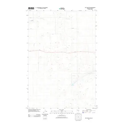
2013 Map of Split Rock Lake
USGS Topo · Published 2013About this map
Rice River Cem sits in the northwest corner of this Aitkin County terrain, a primary landmark for genealogists and local historians in an area defined by its intricate drainage patterns. The landscape is structured by the southward flow of Section Five Cr and the winding course of Beckman Cr, which weave through a network of small wetlands and low-lying basins typical of this part of Minnesota. The eastern half of the map is dominated by Split Rock Lake and the Split Rock River, highlighting the significance of these water bodies to the local topography. Human activity is concentrated along the east-west corridor of Mn-27, with local connectors like New Hill Rd and 330th ST providing access to the scattered clearings and homesteads that dot the woodland. This 2013 survey provides a clear look at the modern rural infrastructure and natural hydrology of the region.
Find a feature on this map
9 named features on this map. Tap any name to fly to it.
Don’t see what you’re looking for? This feature index may not catch every label — zoom into the map to look around manually.
Map Details
Editions of this 2013 Split Rock Lake Map
This is the sole edition of this map. No revisions or reprints were ever made.
Other maps of this area

1953 · Duluth
USGS Topo · 1:250,000

1958 · Duluth
USGS Topo · 1:250,000

1969 · Solana
USGS Topo · 1:24,000

1969 · Arthyde
USGS Topo · 1:24,000

1969 · Thor NE
USGS Topo · 1:24,000

1969 · Thor SE
USGS Topo · 1:24,000

1969 · Split Rock Lake
USGS Topo · 1:24,000

1969 · Ronald
USGS Topo · 1:24,000

1969 · Automba
USGS Topo · 1:24,000

1969 · Lawler
USGS Topo · 1:24,000