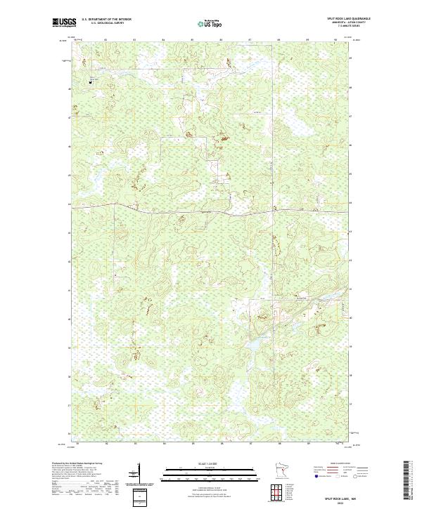
2022 Map of Split Rock Lake
USGS Topo · Published 2022About this map
Split Rock Lake and the meandering headwaters of the Split Rock River define this central Minnesota landscape, where the terrain is dominated by complex wetland systems and small stream networks. The area is intersected by a grid of county roads and local lanes, including Co Hwy 57 and Kestrel Ave, which serve the rural properties and forested tracts of Aitkin County. Notable for genealogists and local historians, the Rice River Cem sits near the northern boundary, providing a localized point of interest for those researching early family sites in the region. The map captures the hydrological patterns of Section Five Cr and Beckman Cr as they flow through the low-lying basins that characterize the northern woods before more intensive modern development altered the drainage of such environments.
Find a feature on this map
20 named features on this map. Tap any name to fly to it.
Don’t see what you’re looking for? This feature index may not catch every label — zoom into the map to look around manually.
Map Details
Editions of this 2022 Split Rock Lake Map
This is the sole edition of this map. No revisions or reprints were ever made.
Other maps of this area

1953 · Duluth
USGS Topo · 1:250,000

1958 · Duluth
USGS Topo · 1:250,000

1969 · Solana
USGS Topo · 1:24,000

1969 · Arthyde
USGS Topo · 1:24,000

1969 · Thor NE
USGS Topo · 1:24,000

1969 · Thor SE
USGS Topo · 1:24,000

1969 · Split Rock Lake
USGS Topo · 1:24,000

1969 · Ronald
USGS Topo · 1:24,000

1969 · Automba
USGS Topo · 1:24,000

1969 · Lawler
USGS Topo · 1:24,000