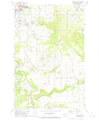
1973 Map of Spokane SE
USGS Topo · Published 1975About this map
Moran Prairie serves as the transitional landscape where the urban expansion of southeast Spokane meets the orchards and rugged hillsides of the Inland Empire. The 1973 survey reveals a cluster of community landmarks at the city's edge, including Ferris High Sch, the Moran Cem, and a Grange Hall near a prominent Historical Monument. To the south and east, the terrain rises toward Browne Mtn and Krell Hill, punctuated by numerous communication facilities such as Radio Tower (KREM-2).
Find a feature on this map
65 named features on this map. Tap any name to fly to it.
Don’t see what you’re looking for? This feature index may not catch every label — zoom into the map to look around manually.
Map Details
Editions of this 1973 Spokane SE Map
2 editions found

Other maps of this area

1901 · Spokane
USGS Topo · 1:125,000

1903 · Oakesdale
USGS Topo · 1:125,000

1905 · Oakesdale
USGS Topo · 1:125,000

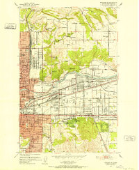
1949 · Greenacres
USGS Topo · 1:62,500
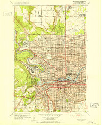
1950 · Spokane NE
USGS Topo · 1:24,000
1950 · Spokane SE
USGS Topo · 1:24,000

1950 · Spokane SW
USGS Topo · 1:24,000
1950 · Spokane NW
USGS Topo · 1:24,000

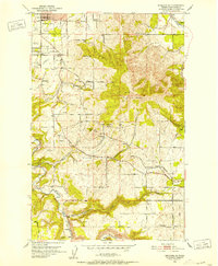
1950 · Spokane
USGS Topo · 1:62,500

1951 · Greenacres
USGS Topo · 1:62,500