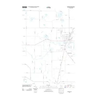
2013 Map of Spooner
USGS Topo · Published 2013About this map
The city of Spooner serves as the focal point of this Northwest Wisconsin landscape, situated at the confluence of several regional transportation routes including Us-63. The settlement pattern follows a grid concentrated north of the Yellow River, while to the south and east, Chicago Junction marks a secondary point of activity near the Beaver Brook drainage. This area is characterized by an intricate hydrological network typical of the glacial till plains, featuring numerous kettle lakes such as Cable Lake, Cyclone Lake, and Starkey Lake.
Find a feature on this map
96 named features on this map. Tap any name to fly to it.
Don’t see what you’re looking for? This feature index may not catch every label — zoom into the map to look around manually.
Map Details
Editions of this 2013 Spooner Map
This is the sole edition of this map. No revisions or reprints were ever made.
Other maps of this area

1948 · Spooner
USGS Topo · 1:48,000

1949 · Hertel
USGS Topo · 1:48,000

1949 · Spooner
USGS Topo · 1:48,000

1951 · Cumberland
USGS Topo · 1:48,000

1951 · Shell Lake
USGS Topo · 1:48,000

1953 · Rice Lake
USGS Topo · 1:250,000

1953 · Stillwater
USGS Topo · 1:250,000

1955 · Hertel
USGS Topo · 1:62,500

1955 · Stillwater
USGS Topo · 1:250,000

1956 · Cumberland
USGS Topo · 1:62,500