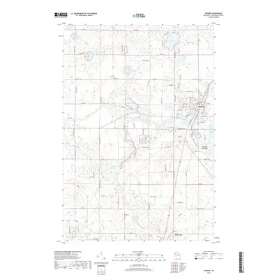
2018 Map of Spooner
USGS Topo · Published 2018About this map
Spooner and the nearby village of Shell Lake anchor this modern topographical study of Washburn County, Wisconsin. The landscape is defined by the winding course of the Yellow River, which connects several smaller water bodies and wetlands across the region. Local genealogy is well-supported by the inclusion of several resting places, such as Spooner Cem, Shell Lake Cem, and the more secluded Rocky Ridge Cem. The transition from the developed town centers to the surrounding wilderness is marked by landmarks like Tozer Springs and the Sawyer Creek Springs.
Find a feature on this map
109 named features on this map. Tap any name to fly to it.
Don’t see what you’re looking for? This feature index may not catch every label — zoom into the map to look around manually.
Map Details
Editions of this 2018 Spooner Map
This is the sole edition of this map. No revisions or reprints were ever made.
Other maps of this area

1948 · Spooner
USGS Topo · 1:48,000

1949 · Hertel
USGS Topo · 1:48,000

1949 · Spooner
USGS Topo · 1:48,000

1951 · Cumberland
USGS Topo · 1:48,000

1951 · Shell Lake
USGS Topo · 1:48,000

1953 · Rice Lake
USGS Topo · 1:250,000

1953 · Stillwater
USGS Topo · 1:250,000

1955 · Hertel
USGS Topo · 1:62,500

1955 · Stillwater
USGS Topo · 1:250,000

1956 · Cumberland
USGS Topo · 1:62,500