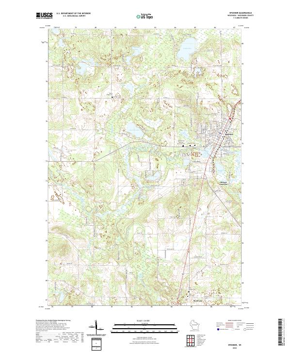
2022 Map of Spooner
USGS Topo · Published 2022About this map
The Yellow River and Beaver Brook systems anchor this portion of Washburn County, defining a landscape of glacial lakes and wetlands centered on the rail-influenced city of Spooner. Modern infrastructure like Co HWY-A and the grid of Spooner streets, including Roundhouse Rd, point to the area’s history as a regional transportation hub. Smaller settlements and junctions like Chicago Junction and the northern edge of Shell Lake show the distribution of population along the valley floor.
Find a feature on this map
116 named features on this map. Tap any name to fly to it.
Don’t see what you’re looking for? This feature index may not catch every label — zoom into the map to look around manually.
Map Details
Editions of this 2022 Spooner Map
This is the sole edition of this map. No revisions or reprints were ever made.
Other maps of this area

1948 · Spooner
USGS Topo · 1:48,000

1949 · Hertel
USGS Topo · 1:48,000

1949 · Spooner
USGS Topo · 1:48,000

1951 · Cumberland
USGS Topo · 1:48,000

1951 · Shell Lake
USGS Topo · 1:48,000

1953 · Rice Lake
USGS Topo · 1:250,000

1953 · Stillwater
USGS Topo · 1:250,000

1955 · Hertel
USGS Topo · 1:62,500

1955 · Stillwater
USGS Topo · 1:250,000

1956 · Cumberland
USGS Topo · 1:62,500