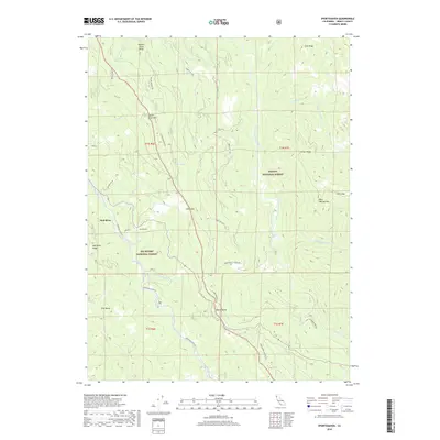
2018 Map of Sportshaven
USGS Topo · Published 2018About this map
Sportshaven sits within the high-elevation divide between two major Northern California drainage systems, marking a point where the waters of the Mad River and the South Fork Trinity River are separated by the towering spine of South Fork Mountain. This 2018 survey details a landscape defined by its timber and watershed management, where the boundaries of Six Rivers National Forest and Trinity National Forest meet. The map reveals an intricate network of mountain access routes, including S Fork Mountain Road and Lower Mad River Road, which serve as the primary corridors through this steep terrain.
Find a feature on this map
50 named features on this map. Tap any name to fly to it.
Don’t see what you’re looking for? This feature index may not catch every label — zoom into the map to look around manually.
Map Details
Editions of this 2018 Sportshaven Map
This is the sole edition of this map. No revisions or reprints were ever made.
Other maps of this area
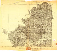
1909 · Big Bar
USGS Topo · 1:96,000
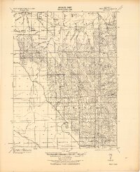
1914 · Pilot Creek
USGS Topo · 1:62,500
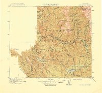
1915 · Big Bar and Vicinity
USGS Topo · 1:250,000
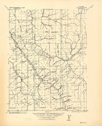
1918 · Anada
USGS Topo · 1:62,500
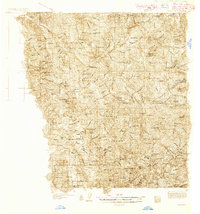
1931 · Hoaglin
USGS Topo · 1:96,000
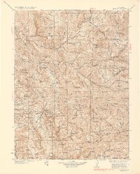
1935 · Hoaglin
USGS Topo · 1:125,000
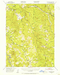
1949 · Blocksburg
USGS Topo · 1:62,500
1951 · Blocksburg
USGS Topo · 1:62,500
1951 · Pilot Creek
USGS Topo · 1:62,500
1951 · Hyampom
USGS Topo · 1:62,500