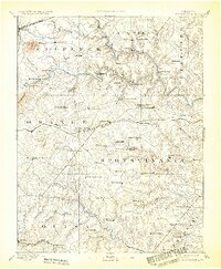
1892 Map of Spotsylvania
USGS Topo · Published 1932About this map
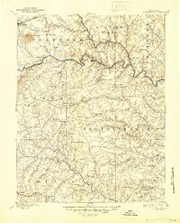
The confluence of the Rappahannock River and the Rapidan River anchors this late 19th-century survey of North Central Virginia. The landscape is defined by the legacy of the Civil War and a burgeoning mining economy, visible through the presence of the Vaucluse Gold Mine and the White Hall Gold Mine. A dense network of river crossings, such as Elys Ford, Richards Ford, and Germanna Bridge, illustrates the historical reliance on these waterways for transit between Orange, Spotsylvania, and Culpeper counties.
Find a feature on this map
92 named features on this map. Tap any name to fly to it.
Don’t see what you’re looking for? This feature index may not catch every label — zoom into the map to look around manually.
Map Details
Editions of this 1892 Spotsylvania Map
6 editions found
Other maps of this area

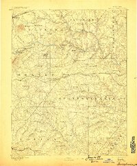
1887 · Spottsylvania
USGS Topo · 1:125,000

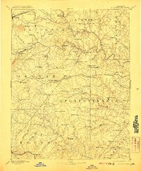
1889 · Fredericksburg
USGS Topo · 1:125,000

1890 · Goochland
USGS Topo · 1:125,000

1890 · Mt. Vernon
USGS Topo · 1:125,000

1891 · Palmyra
USGS Topo · 1:125,000

1891 · Mt. Vernon
USGS Topo · 1:125,000

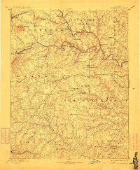
1892 · Fredericksburg
USGS Topo · 1:125,000

1892 · Spottsylvania
USGS Topo · 1:125,000

1892 · Goochland
USGS Topo · 1:125,000

1892 · Gordonsville
USGS Topo · 1:125,000