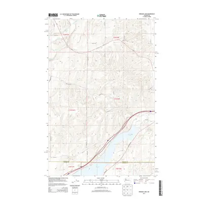
2013 Map of Sprague Lake
USGS Topo · Published 2013About this map
Sprague Lake dominates the southern landscape of this terrain where the high plateau of the Inland Northwest meets the channeled scablands. The small settlement of Pifer sits along the southwestern shore, marking a point of interest for local historians studying the rural communities of the Big Bend country. The water system is remarkably complex for this arid region, featuring Eastman Pond, Clear Lake, and the winding path of Crab Cr along with various tributaries like Buttermilk Cr and Negro Creek.
Find a feature on this map
36 named features on this map. Tap any name to fly to it.
Don’t see what you’re looking for? This feature index may not catch every label — zoom into the map to look around manually.
Map Details
Editions of this 2013 Sprague Lake Map
This is the sole edition of this map. No revisions or reprints were ever made.
Other maps of this area

1953 · Ritzville
USGS Topo · 1:250,000

1954 · Sprague
USGS Topo · 1:62,500

1955 · Spokane
USGS Topo · 1:250,000

1958 · Spokane
USGS Topo · 1:250,000

1959 · Ritzville
USGS Topo · 1:250,000

1964 · Lamont NW
USGS Topo · 1:24,000

1964 · Karakul Hills
USGS Topo · 1:24,000

1964 · Palm Lake
USGS Topo · 1:24,000

1965 · Ritzville
USGS Topo · 1:250,000

1969 · Sprague Lake
USGS Topo · 1:24,000