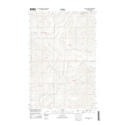
2013 Map of Sprague Lake NE
USGS Topo · Published 2013About this map
Canby sits at the northern edge of this high-plateau landscape in Lincoln County, where the terrain is defined by the winding drainages of Crab Cr and Rock Cr. The area is partitioned by an extensive network of rural roads that often follow the section lines of the Public Land Survey System, including Bluestem Rd E and Mecklenburg Rd N. These corridors provide access to the agricultural uplands between the coulees. A significant point of interest for local historians is the Sassin Cem, located in the eastern portion of the quadrangle near Wollweber Rd N. The map also traces the smaller course of Buttermilk Cr as it moves through the southern townships, illustrating the intricate drainage patterns essential to this part of the Washington interior.
Find a feature on this map
27 named features on this map. Tap any name to fly to it.
Don’t see what you’re looking for? This feature index may not catch every label — zoom into the map to look around manually.
Map Details
Editions of this 2013 Sprague Lake NE Map
This is the sole edition of this map. No revisions or reprints were ever made.
Other maps of this area

1945 · Reardan
USGS Topo · 1:62,500

1953 · Reardan
USGS Topo · 1:62,500

1953 · Ritzville
USGS Topo · 1:250,000

1954 · Sprague
USGS Topo · 1:62,500

1955 · Spokane
USGS Topo · 1:250,000

1958 · Spokane
USGS Topo · 1:250,000

1959 · Ritzville
USGS Topo · 1:250,000

1965 · Ritzville
USGS Topo · 1:250,000

1969 · Bluestem
USGS Topo · 1:24,000

1969 · Sprague Lake
USGS Topo · 1:24,000