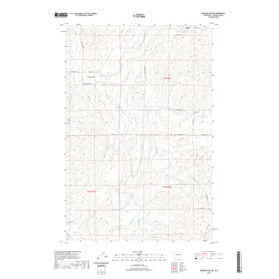
2020 Map of Sprague Lake NE
USGS Topo · Published 2020About this map
Canby anchors the northern edge of this high-plateau landscape, where the agricultural grid of Lincoln County meets a network of seasonal watercourses. The drainage of Crab Creek and its smaller tributaries like Buttermilk Cr and Rock Cr carve through the terrain, dictating the placement of early routes and local homesteads. For those tracing regional roots, the presence of the Sassin Cem near Wollweber Rd N provides a specific point of interest for genealogical research.
Find a feature on this map
27 named features on this map. Tap any name to fly to it.
Don’t see what you’re looking for? This feature index may not catch every label — zoom into the map to look around manually.
Map Details
Editions of this 2020 Sprague Lake NE Map
This is the sole edition of this map. No revisions or reprints were ever made.
Other maps of this area

1945 · Reardan
USGS Topo · 1:62,500

1953 · Reardan
USGS Topo · 1:62,500

1953 · Ritzville
USGS Topo · 1:250,000

1954 · Sprague
USGS Topo · 1:62,500

1955 · Spokane
USGS Topo · 1:250,000

1958 · Spokane
USGS Topo · 1:250,000

1959 · Ritzville
USGS Topo · 1:250,000

1965 · Ritzville
USGS Topo · 1:250,000

1969 · Bluestem
USGS Topo · 1:24,000

1969 · Sprague Lake
USGS Topo · 1:24,000