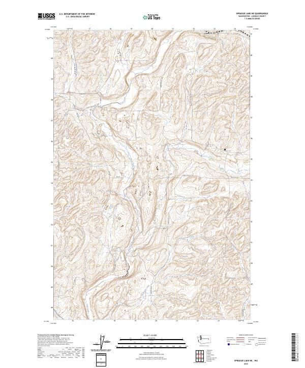
2023 Map of Sprague Lake NE
USGS Topo · Published 2023About this map
Crab Creek and its tributaries, including Rock Creek and Buttermilk Creek, carve through the undulating scablands of Lincoln County. The small settlement of Canby sits in the northern reaches of the area, serving as a focal point for the local network of section roads. This landscape is defined by the Jeffersonian grid, where routes like Bluestem Rd E and Kintschi Rd E provide access to the expansive agricultural and grazing lands between the coulees. For genealogists and local historians, the Sassin Cem remains a significant landmark of early community life. The distribution of family-named roads, such as Mecklenburg Rd N, Wollweber Rd N, and Polenske Rd N, suggests a history of European settlement and the establishment of family farmsteads throughout the townships of T22N and T23N.
Find a feature on this map
26 named features on this map. Tap any name to fly to it.
Don’t see what you’re looking for? This feature index may not catch every label — zoom into the map to look around manually.
Map Details
Editions of this 2023 Sprague Lake NE Map
This is the sole edition of this map. No revisions or reprints were ever made.
Other maps of this area

1945 · Reardan
USGS Topo · 1:62,500

1953 · Reardan
USGS Topo · 1:62,500

1953 · Ritzville
USGS Topo · 1:250,000

1954 · Sprague
USGS Topo · 1:62,500

1955 · Spokane
USGS Topo · 1:250,000

1958 · Spokane
USGS Topo · 1:250,000

1959 · Ritzville
USGS Topo · 1:250,000

1965 · Ritzville
USGS Topo · 1:250,000

1969 · Bluestem
USGS Topo · 1:24,000

1969 · Sprague Lake
USGS Topo · 1:24,000