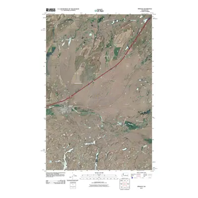
2011 Map of Sprague
USGS Topo · Published 2011About this map
Sprague serves as the central hub of this eastern Washington landscape, where the grid of the town site meets the irregular patterns of the Scablands. The township is bordered by significant local landmarks including Lake View Cemetery and Macabee Cemetery to the west, reflecting the community's long-standing roots in Lincoln County. The area's complex hydrology is a defining characteristic, featuring numerous bodies of water such as Ringwood Lake, Pine Tree Lake, and the expansive Fourth of July Lake in the southern reaches.
Find a feature on this map
36 named features on this map. Tap any name to fly to it.
Don’t see what you’re looking for? This feature index may not catch every label — zoom into the map to look around manually.
Map Details
Editions of this 2011 Sprague Map
This is the sole edition of this map. No revisions or reprints were ever made.
Other maps of this area

1953 · Ritzville
USGS Topo · 1:250,000

1954 · Sprague
USGS Topo · 1:62,500

1955 · Spokane
USGS Topo · 1:250,000

1958 · Spokane
USGS Topo · 1:250,000

1959 · Ritzville
USGS Topo · 1:250,000

1964 · Lamont NE
USGS Topo · 1:24,000

1964 · Lamont NW
USGS Topo · 1:24,000

1964 · Palm Lake
USGS Topo · 1:24,000

1965 · Ritzville
USGS Topo · 1:250,000

1969 · Sprague Lake
USGS Topo · 1:24,000