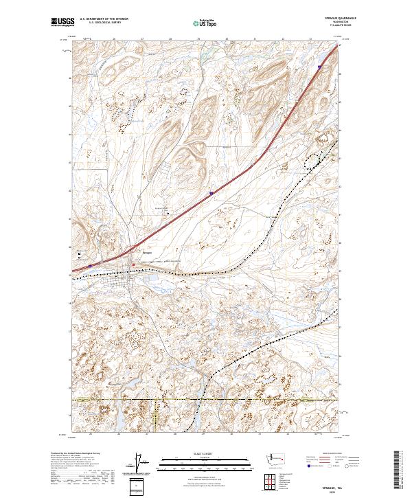
2023 Map of Sprague
USGS Topo · Published 2023About this map
Sprague serves as the primary hub in this portion of Lincoln County, situated along a landscape defined by an intricate network of glacial lakes and coulee-like depressions. The town's historical foundations are reflected in its cluster of local burial grounds, including Lake View Cem, Sprague Catholic Cem, and Macabee Cem. Outside the town center, the terrain is characterized by water bodies such as Lye Lake, Ringwood Lake, and Pine Tree Lake, which are interconnected by seasonal drainages like Negro Creek. The presence of the Redfern Aerodrome south of the main settlement indicates the area's continued utility as a rural aviation point. Along the southern boundary, where Lincoln, Adams, and Whitman counties meet, the hydrology becomes more complex with features like Snyder Slough and Widgeon Lake near a constriction known as The Narrows.
Find a feature on this map
32 named features on this map. Tap any name to fly to it.
Don’t see what you’re looking for? This feature index may not catch every label — zoom into the map to look around manually.
Map Details
Editions of this 2023 Sprague Map
This is the sole edition of this map. No revisions or reprints were ever made.
Other maps of this area

1953 · Ritzville
USGS Topo · 1:250,000

1954 · Sprague
USGS Topo · 1:62,500

1955 · Spokane
USGS Topo · 1:250,000

1958 · Spokane
USGS Topo · 1:250,000

1959 · Ritzville
USGS Topo · 1:250,000

1964 · Lamont NE
USGS Topo · 1:24,000

1964 · Lamont NW
USGS Topo · 1:24,000

1964 · Palm Lake
USGS Topo · 1:24,000

1965 · Ritzville
USGS Topo · 1:250,000

1969 · Sprague Lake
USGS Topo · 1:24,000