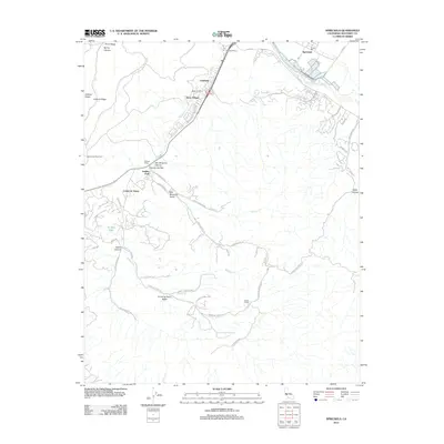
2012 Map of Spreckels
USGS Topo · Published 2012About this map
Spreckels occupies the northern edge of this Monterey County landscape, where the Salinas River winds through the valley floor. The map illustrates a transition from the agricultural and industrial activity near the river to the residential developments and canyon networks of the south. Settlements such as Ambler Park, Creekside, and Serra Village are clustered along El Toro Cr, while named properties like Guidotti Ranch and Bingamin Ranch highlight the area's ongoing ranching heritage.
Find a feature on this map
52 named features on this map. Tap any name to fly to it.
Don’t see what you’re looking for? This feature index may not catch every label — zoom into the map to look around manually.
Map Details
Editions of this 2012 Spreckels Map
This is the sole edition of this map. No revisions or reprints were ever made.
Other maps of this area

1910 · Salinas
USGS Topo · 1:31,680

1912 · Salinas
USGS Topo · 1:62,500

1913 · Monterey
USGS Topo · 1:62,500

1918 · Point Sur
USGS Topo · 1:62,500

1920 · Jamesburg
USGS Topo · 1:48,000

1921 · Jamesburg
USGS Topo · 1:62,500

1925 · Point Sur
USGS Topo · 1:62,500

1939 · Jamesburg
USGS Topo · 1:62,500

1940 · Salinas
USGS Topo · 1:62,500

1940 · Jamesburg
USGS Topo · 1:62,500