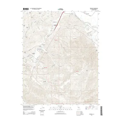
2015 Map of Spreckels
USGS Topo · Published 2015About this map
Ambler Park and the surrounding Monterey County hillsides are captured here in a period of modern suburban transition and protected open space. The landscape is defined by a dense network of hiking paths like Fern Trail and Trail 41, which crisscross the prominent Pilarcitos Ridge and Lookout Ridge. These trails navigate the complex topography of Picnic Canyon and Barley Canyon, leading down toward the more developed corridors along Monterey Rd.
Find a feature on this map
104 named features on this map. Tap any name to fly to it.
Don’t see what you’re looking for? This feature index may not catch every label — zoom into the map to look around manually.
Map Details
Editions of this 2015 Spreckels Map
This is the sole edition of this map. No revisions or reprints were ever made.
Other maps of this area

1910 · Salinas
USGS Topo · 1:31,680

1912 · Salinas
USGS Topo · 1:62,500

1913 · Monterey
USGS Topo · 1:62,500

1918 · Point Sur
USGS Topo · 1:62,500

1920 · Jamesburg
USGS Topo · 1:48,000

1921 · Jamesburg
USGS Topo · 1:62,500

1925 · Point Sur
USGS Topo · 1:62,500

1939 · Jamesburg
USGS Topo · 1:62,500

1940 · Salinas
USGS Topo · 1:62,500

1940 · Jamesburg
USGS Topo · 1:62,500