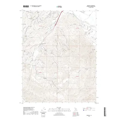
2018 Map of Spreckels
USGS Topo · Published 2018About this map
San Benancio Canyon and the Corral de Tierra Valley define this landscape of the Santa Lucia foothills southeast of the Monterey Peninsula. The map reveals a complex network of canyons and ridges, where narrow residential enclaves follow the drainage of San Benancio Gulch and Canyon Del Rey. To the northeast, the Salinas River flows past the fertile agricultural margins of the valley, while the higher elevations are dominated by extensive trail systems and fire roads. Notable features like Oil Well Road and Engineer Canyon Rd suggest historical resource exploration and infrastructure development in the rugged interior. The geography transitions from the riparian corridors of Watson Cr and Harper Cr to the high vantage points of Lookout Ridge and Pilarcitos Ridge, illustrating the varied topography between the coast and the inland valleys.
Find a feature on this map
139 named features on this map. Tap any name to fly to it.
Don’t see what you’re looking for? This feature index may not catch every label — zoom into the map to look around manually.
Map Details
Editions of this 2018 Spreckels Map
This is the sole edition of this map. No revisions or reprints were ever made.
Other maps of this area

1910 · Salinas
USGS Topo · 1:31,680

1912 · Salinas
USGS Topo · 1:62,500

1913 · Monterey
USGS Topo · 1:62,500

1918 · Point Sur
USGS Topo · 1:62,500

1920 · Jamesburg
USGS Topo · 1:48,000

1921 · Jamesburg
USGS Topo · 1:62,500

1925 · Point Sur
USGS Topo · 1:62,500

1939 · Jamesburg
USGS Topo · 1:62,500

1940 · Salinas
USGS Topo · 1:62,500

1940 · Jamesburg
USGS Topo · 1:62,500