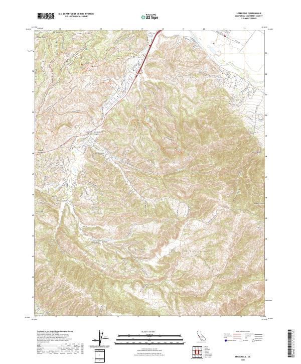
2021 Map of Spreckels
USGS Topo · Published 2021About this map
The Salinas River winds along the northern reaches of this Monterey County landscape, where the valley floor gives way to the complex elevations of the Sierra de Salinas. This region, documented in 2021, is defined by its deep canyons and ridges, including Pilarcitos Ridge and Wildcat Ridge. Cultural landmarks like the John Steinbeck Trl and Oil Well Rd reflect the area's literary associations and resource history.
Find a feature on this map
121 named features on this map. Tap any name to fly to it.
Don’t see what you’re looking for? This feature index may not catch every label — zoom into the map to look around manually.
Map Details
Editions of this 2021 Spreckels Map
This is the sole edition of this map. No revisions or reprints were ever made.
Other maps of this area

1910 · Salinas
USGS Topo · 1:31,680

1912 · Salinas
USGS Topo · 1:62,500

1913 · Monterey
USGS Topo · 1:62,500

1918 · Point Sur
USGS Topo · 1:62,500

1920 · Jamesburg
USGS Topo · 1:48,000

1921 · Jamesburg
USGS Topo · 1:62,500

1925 · Point Sur
USGS Topo · 1:62,500

1939 · Jamesburg
USGS Topo · 1:62,500

1940 · Salinas
USGS Topo · 1:62,500

1940 · Jamesburg
USGS Topo · 1:62,500