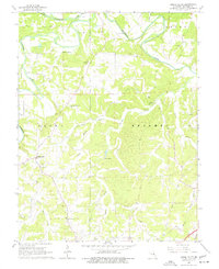
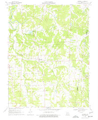
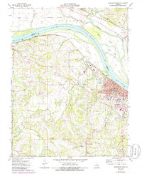
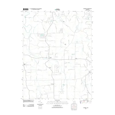
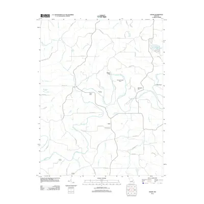
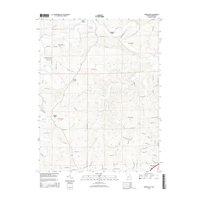
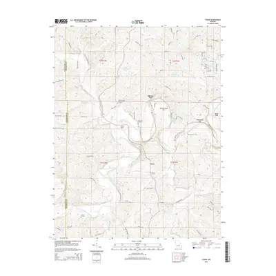
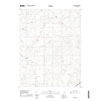
1966 Map of Spring Bluff
USGS Topo · Published 1977About this map
The Bourbeuse River snakes through the northern hills of Franklin County, defining a landscape marked by deep-cut stream valleys and natural springs. In the mid-1960s, this area maintained a rural character where community life centered around small landmarks like Spring Bluff and School No 15. The map reveals a reliance on river crossings at locations such as Schmitt Ford and Peters Ford, reflecting a time before modern bridge infrastructure had fully bypassed traditional transit points.
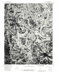
Find a feature on this map
29 named features on this map. Tap any name to fly to it.
Don’t see what you’re looking for? This feature index may not catch every label — zoom into the map to look around manually.
Map Details
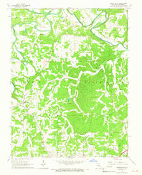
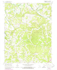
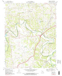
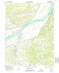
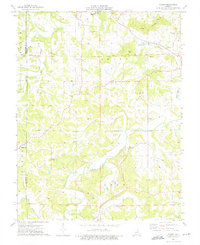
Editions of this 1966 Spring Bluff Map
3 editions found
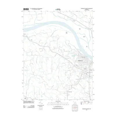
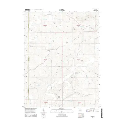
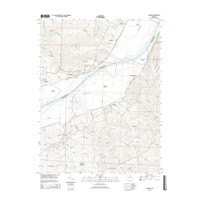
Historical Maps of Sullivan Through Time
40 maps found
1966 Spring Bluff
Franklin County, MO
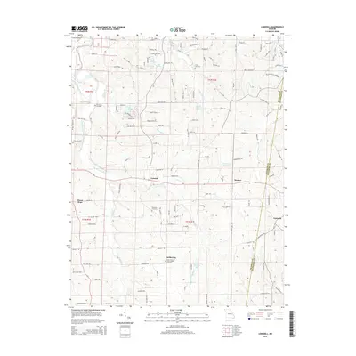
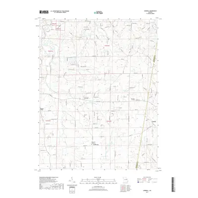
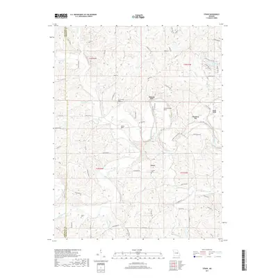
1966 Strain
Franklin County, MO
1969 Lonedell
Franklin County, MO
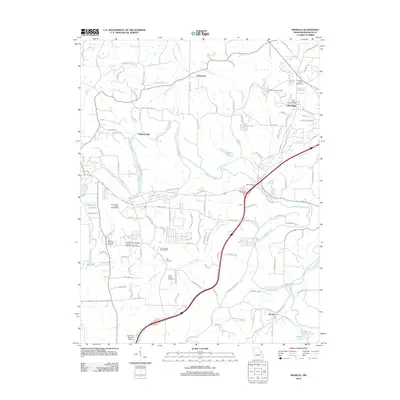
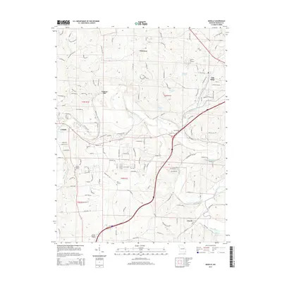
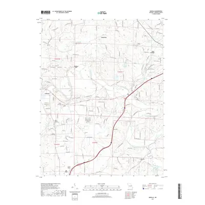
1969 Moselle
Franklin County, MO
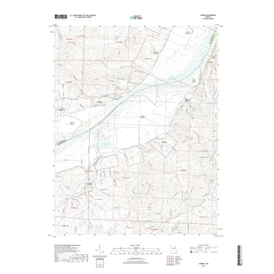
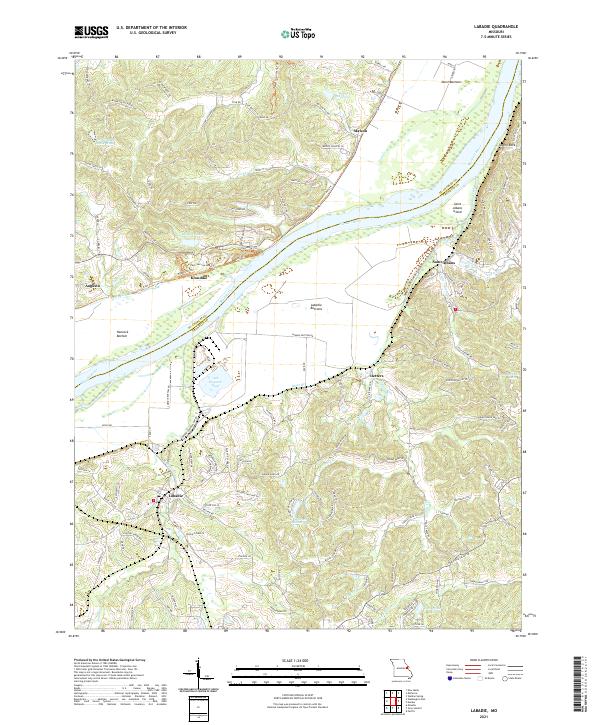
1972 Labadie
Franklin County, MO
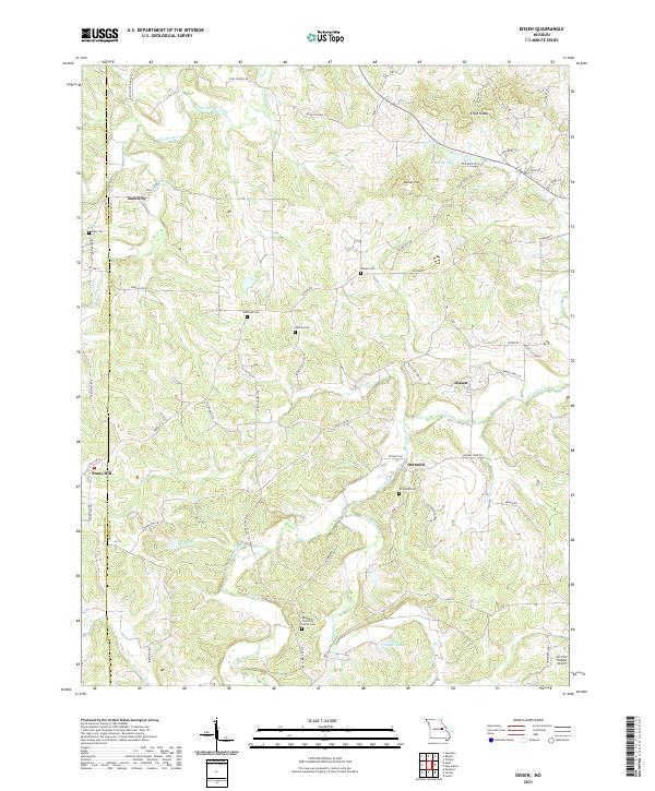
1973 Dissen
Franklin County, MO
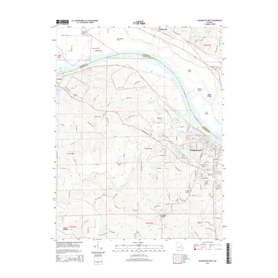
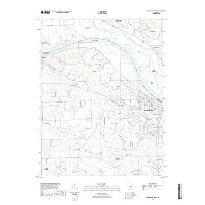
1973 Washington West
Franklin County, MO
1980 Moselle
Franklin County, MO
2012 Dissen
Franklin County, MO
2012 Labadie
Franklin County, MO
2012 Lonedell
Franklin County, MO
2012 Moselle
Franklin County, MO
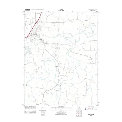
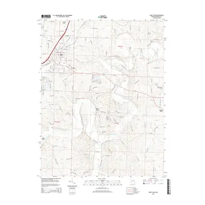
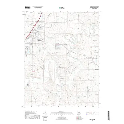
2012 Saint Clair
Franklin County, MO
2012 Spring Bluff
Franklin County, MO
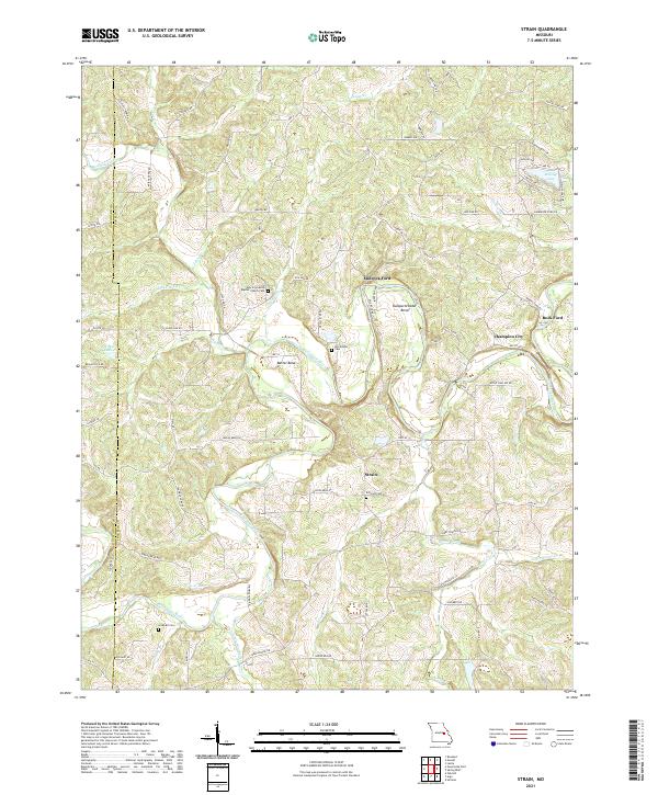
2012 Strain
Franklin County, MO
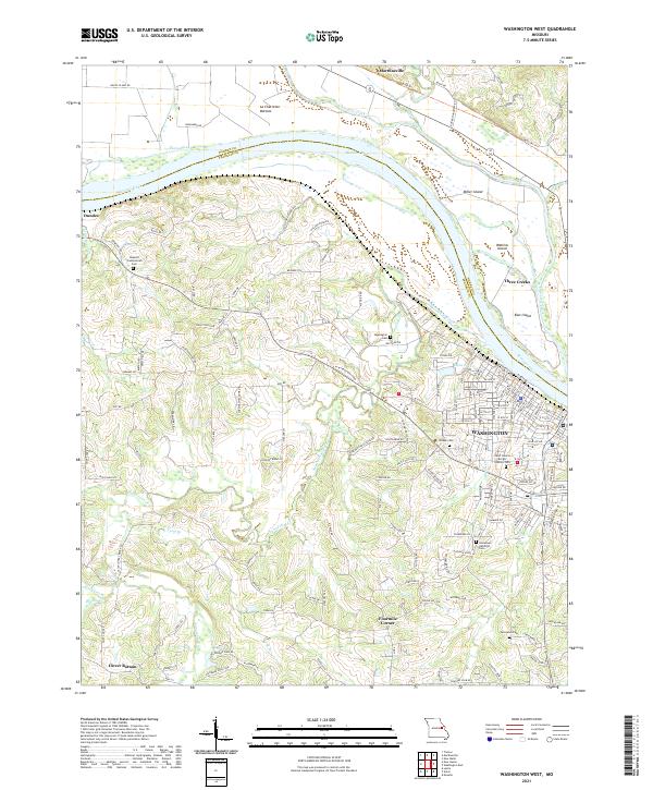
2012 Washington West
Franklin County, MO
2015 Dissen
Franklin County, MO
2015 Labadie
Franklin County, MO
2015 Lonedell
Franklin County, MO
2015 Moselle
Franklin County, MO
2015 Saint Clair
Franklin County, MO
2015 Spring Bluff
Franklin County, MO
2015 Strain
Franklin County, MO
2015 Washington West
Franklin County, MO
2017 Dissen
Franklin County, MO
2017 Labadie
Franklin County, MO
2017 Lonedell
Franklin County, MO
2017 Moselle
Franklin County, MO
2017 Saint Clair
Franklin County, MO
2017 Spring Bluff
Franklin County, MO
2017 Strain
Franklin County, MO
2017 Washington West
Franklin County, MO
2021 Dissen
Franklin County, MO
2021 Labadie
Franklin County, MO
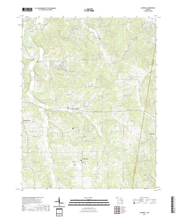
2021 Lonedell
Franklin County, MO
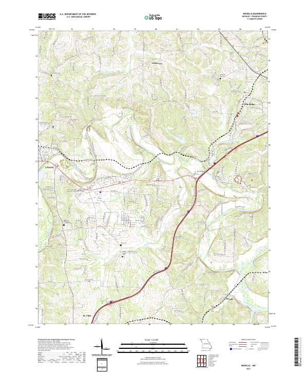
2021 Moselle
Franklin County, MO
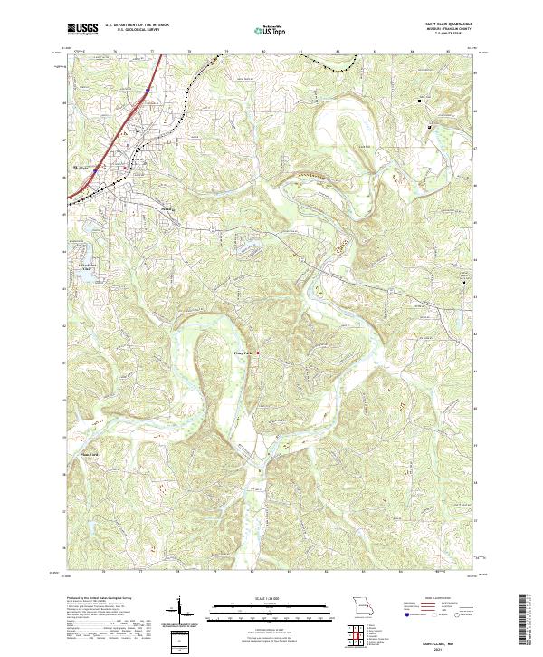
2021 Saint Clair
Franklin County, MO
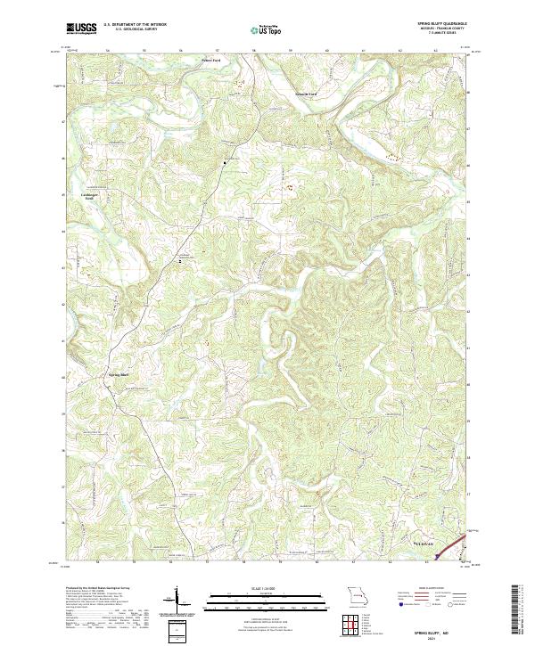
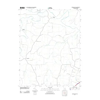
2021 Spring Bluff
Franklin County, MO
2021 Strain
Franklin County, MO
2021 Washington West
Franklin County, MO