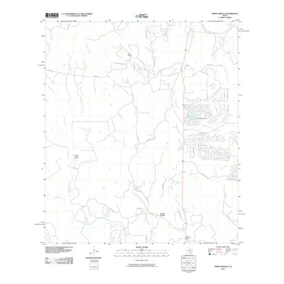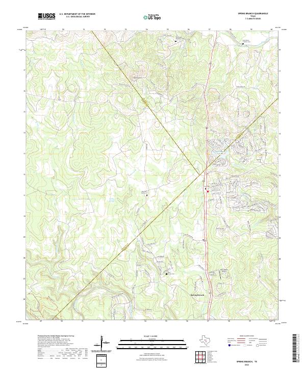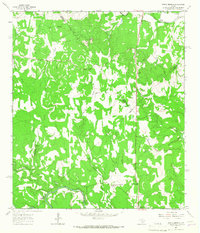
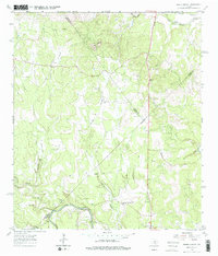
1964 Map of Spring Branch
USGS Topo · Published 1967About this map
The Guadalupe River winds across the southern portion of this landscape, marking a significant water resource for the central Texas hill country during the mid-1960s. The settlement of Spring Branch serves as a local hub, anchored by the Spring Branch PO and a nearby Roadside Park. To the north, the terrain is defined by the prominent Twin Sisters peaks and the courses of the Little Blanco River and Blanco River. This survey reveals a rural economy dependent on local resources, evidenced by scattered Gravel Pit operations and a localized Landing Strip. Historical community centers like Knibbe and religious landmarks such as St Mary Ch are preserved here, alongside several unnamed Cem sites that provide valuable data for genealogists tracking early families in Comal, Blanco, and Kendall counties.
Find a feature on this map
26 named features on this map. Tap any name to fly to it.
Don’t see what you’re looking for? This feature index may not catch every label — zoom into the map to look around manually.
Map Details
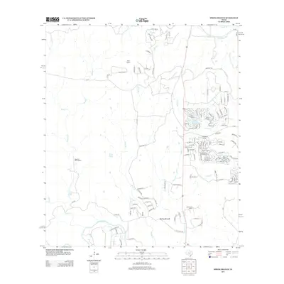
Editions of this 1964 Spring Branch Map
2 editions found
Historical Maps of Hodge's Mill Through Time
6 maps found