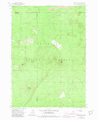
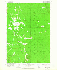
1963 Map of Spring Butte
USGS Topo · Published 1981About this map
Deschutes National Forest encompasses the high volcanic terrain of this Central Oregon region, where three county lines meet. The landscape is dominated by cinder cones and lava flows, notably Spring Butte, Ipsoot Butte, and Green Butte, which rise above the broad, porous expanse of the Sand Flat. This 1963 survey, later updated with 1979 data, captures the forest management infrastructure of the era, including the Jones Well Guard Station and associated Jones Well. The network of Jeep Trails provides the primary means of navigation through the timber and volcanic soil, connecting remote landmarks like the Water Tank and a Cinder Pit near the Klamath and Deschutes county boundary. The mapping of these county lines—where Deschutes, Klamath, and Lake counties converge—illustrates the administrative complexity of managing these high-desert forest lands.
Find a feature on this map
13 named features on this map. Tap any name to fly to it.
Don’t see what you’re looking for? This feature index may not catch every label — zoom into the map to look around manually.
Map Details
Editions of this 1963 Spring Butte Map
2 editions found
Other maps of this area

1931 · Newberry Crater
USGS Topo · 1:125,000

1935 · Newberry Crater
USGS Topo · 1:125,000

1955 · Crescent
USGS Topo · 1:250,000

1957 · Crescent
USGS Topo · 1:250,000

1958 · Crescent
USGS Topo · 1:250,000
1963 · Spring Butte
USGS Topo · 1:24,000
1963 · Finley Butte
USGS Topo · 1:24,000
1963 · Paulina Peak
USGS Topo · 1:24,000
1963 · Moffitt Butte
USGS Topo · 1:24,000

1970 · Crescent
USGS Topo · 1:250,000