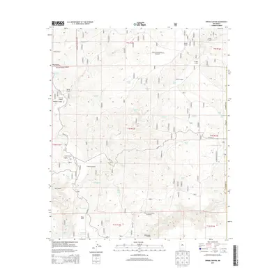
2013 Map of Spring Canyon
USGS Topo · Published 2013About this map
Gila National Forest encompasses the entirety of this 2013 topographic study in Catron County, New Mexico, revealing a landscape defined by an extensive system of water management tanks. These features, with names like Good Heavens Tank, Chuckwagon Tank, and Deadman Tank, indicate the vital importance of water storage in this high-elevation terrain. The map tracks the drainages of Beaver Creek and Taylor Creek as they cut through significant landforms such as Kemp Mesa and Mule Canyon. Narrow corridors like Corduroy Canyon and Adams Canyon underscore the complex topography. While State Highway 59 provides the primary transit route, the interior is accessible only by forest roads such as Fire Road 520 and Fire Road 231, serving a territory primarily used for ranching or forest management near Stovall Lake and V-Cross Lake.
Find a feature on this map
53 named features on this map. Tap any name to fly to it.
Don’t see what you’re looking for? This feature index may not catch every label — zoom into the map to look around manually.
Map Details
Editions of this 2013 Spring Canyon Map
This is the sole edition of this map. No revisions or reprints were ever made.
Other maps of this area

1911 · Alum Mountain
USGS Topo · 1:125,000

1913 · Alum Mountain
USGS Topo · 1:125,000

1918 · Pelona
USGS Topo · 1:125,000

1949 · Lookout Mountain
USGS Topo · 1:62,500

1954 · Tularosa
USGS Topo · 1:250,000

1954 · Clifton
USGS Topo · 1:250,000

1957 · Clifton
USGS Topo · 1:250,000

1958 · Clifton
USGS Topo · 1:250,000

1958 · Tularosa
USGS Topo · 1:250,000

1962 · Clifton
USGS Topo · 1:250,000