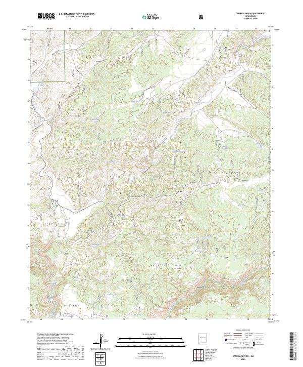
2023 Map of Spring Canyon
USGS Topo · Published 2023About this map
The Gila National Forest and the northern reaches of the Gila Wilderness define this high-altitude landscape in Catron County. The topography is dominated by a complex network of drainages and mesas, including Kemp Mesa and Whitewater Canyon. This map reveals a specific ranching and land-management economy through its dense naming of water catchments, such as Good Heavens Tank, Old Bone Tank, and Deadman Tank. These features, along with the isolated V-Cross-T Lake, indicate the vital importance of water infrastructure in this arid, high-country environment. The area is accessed by remote corridors like State Rte 61 and various forest service routes such as Fire Rd 520, which thread through deep incisions like Kennedy Canyon and Bear Canyon.
Find a feature on this map
51 named features on this map. Tap any name to fly to it.
Don’t see what you’re looking for? This feature index may not catch every label — zoom into the map to look around manually.
Map Details
Editions of this 2023 Spring Canyon Map
This is the sole edition of this map. No revisions or reprints were ever made.
Other maps of this area

1911 · Alum Mountain
USGS Topo · 1:125,000

1913 · Alum Mountain
USGS Topo · 1:125,000

1918 · Pelona
USGS Topo · 1:125,000

1949 · Lookout Mountain
USGS Topo · 1:62,500

1954 · Tularosa
USGS Topo · 1:250,000

1954 · Clifton
USGS Topo · 1:250,000

1957 · Clifton
USGS Topo · 1:250,000

1958 · Clifton
USGS Topo · 1:250,000

1958 · Tularosa
USGS Topo · 1:250,000

1962 · Clifton
USGS Topo · 1:250,000